Allanton Suburbs & Region, Allanton Map & Postcodes in Allanton, Dunedin City, Otago
Allanton Postcodes, Allanton ZipCodes, Allanton , Allanton Otago, Allanton Suburbs, Allanton Region, Allanton Map, Allanton Area
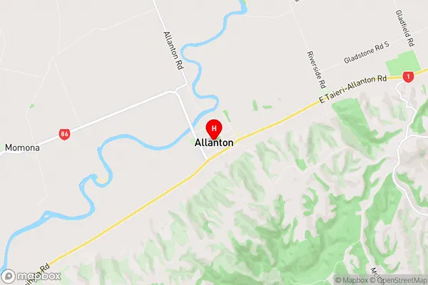
Allanton Region
Allanton Suburbs
Allanton is a suburb place type in Dunedin City, Otago, NZ. It contains 0 suburbs or localities.Allanton Region Map
Allanton Introduction
Allanton is a small rural township located in the Otago region of New Zealand. It is situated approximately 20 kilometers south of Dunedin, the region's capital city, and 10 kilometers north of Oamaru. The township was established in the 1860s and named after the Scottish town of Allanton. It is a primarily agricultural area, with a number of farms and orchards located in the surrounding area. The population of Allanton is around 500 people, with a mix of permanent residents and seasonal workers. The township has a primary school, a post office, a convenience store, and a community hall. There are also a number of recreational facilities, including a golf course and a tennis court. Allanton is surrounded by stunning natural scenery, including the Otago Peninsula and the Southern Alps. The area is popular with outdoor enthusiasts, with many hiking and biking trails nearby.Allanton Region
Allanton City
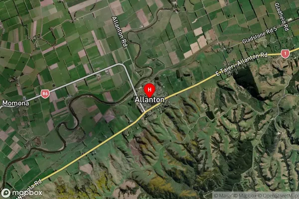
Allanton Satellite Map
Full Address
Allanton, Dunedin City, OtagoAllanton Coordinates
-45.916027,170.264432 (Latitude / Longitude)Allanton Map in NZ
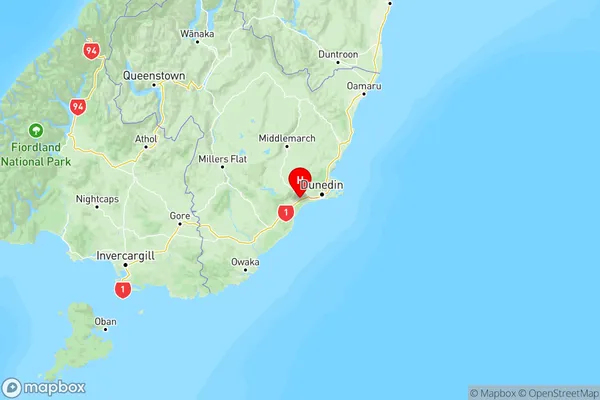
NZ Island
South IslandCountry
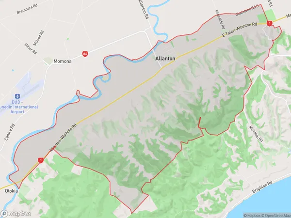
Allanton Area Map (Polygon)
Name
AllantonAdditional Name
Local Authority
Dunedin City
Allanton Suburbs (Sort by Population)
Allanton suburb has around
34.3 square
kilometers.There are more than 442 people (estimated)
live in Allanton, Dunedin, Otago, New Zealand.