Luggate Suburbs & Region, Luggate Map & Postcodes in Luggate, Queenstown-lakes, Central Otago / Lakes District, Otago, South Island, New Zealand
Luggate Postcodes, Luggate ZipCodes, Luggate , Luggate Otago, Luggate Suburbs, Luggate Region, Luggate Map, Luggate Area
Luggate Region (Mount Barker Region)
Luggate Suburbs
Luggate is a suburb place type in Queenstown-lakes, Central Otago / Lakes District, Otago, South Island, New Zealand, NZ. It contains 0 suburbs or localities.Luggate Postcodes
Luggate district
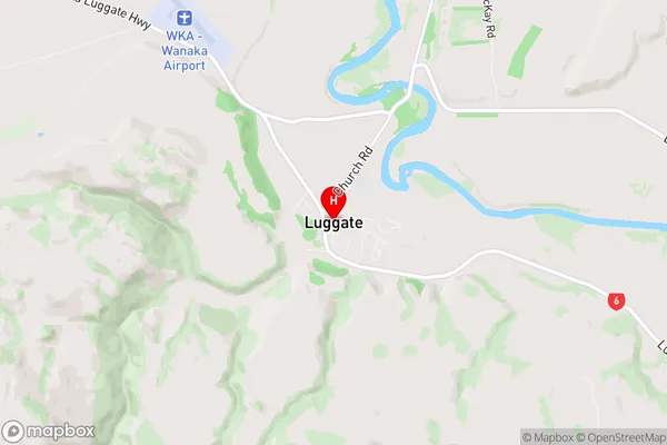
Queenstown-lakesLuggate Region Map
Luggate Introduction
Luggate is a small town in Otago, New Zealand, located on the southern shore of Lake Wakatipu. It is known for its scenic views, outdoor activities, and friendly community. The town has a population of around 2,000 people and is surrounded by beautiful mountains and forests. Luggate is a popular destination for tourists and outdoor enthusiasts, with many hiking and biking trails nearby. The town also has a golf course, a swimming pool, and a community center.Luggate Region
Luggate City
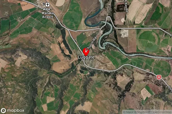
Luggate Satellite Map
Full Address
Luggate, Queenstown-lakes, Central Otago / Lakes District, Otago, South Island, New ZealandLuggate Coordinates
-44.745671,169.269834 (Latitude / Longitude)Luggate Map in NZ

NZ Island
South IslandCountry
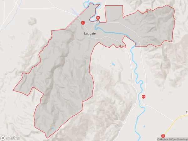
Luggate Area Map (Polygon)
Name
LuggateAdditional Name
Mount BarkerLocal Authority
Queenstown-Lakes District
Luggate Suburbs (Sort by Population)
Luggate also known as Mount Barker. Luggate suburb has around
147.2 square
kilometers.There are more than 738 people (estimated)
live in Luggate, Central Otago / Lakes District, Otago, New Zealand.