Luggate Area, Luggate Postcode(9300) & Map in Luggate
Luggate Area, Luggate Postcode(9300) & Map in Luggate, Queenstown-Lakes District, New Zealand
Luggate, Queenstown-Lakes District, New Zealand
Luggate Postcodes
Luggate Area (estimated)
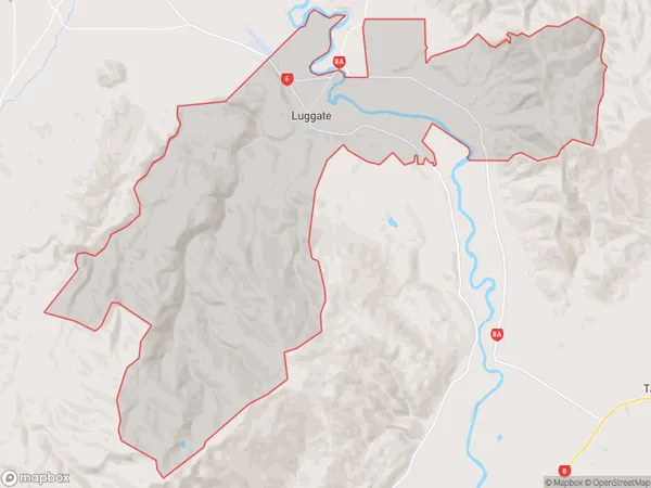
147.2 square kilometersLuggate Population (estimated)
738 people live in Luggate, Otago, NZLuggate Suburb Area Map (Polygon)
Luggate Introduction
Luggate is a small rural community in the Otago region of New Zealand, located on the banks of the Clutha River. It is known for its stunning natural scenery, including mountains, forests, and rivers, and for its peaceful and tranquil atmosphere. The community has a population of around 1,000 people and is home to a variety of businesses and services, including a supermarket, a hotel, and a golf course. Luggate is also a popular destination for outdoor enthusiasts, with many hiking and biking trails nearby.Region
Major City
Suburb Name
LuggateOther Name(s)
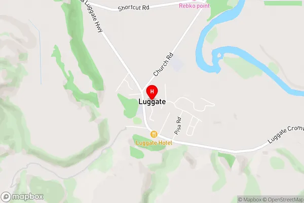
Mount BarkerLuggate Area Map (Street)
Local Authority
Queenstown-Lakes DistrictFull Address
Luggate, Queenstown-Lakes District, New ZealandAddress Type
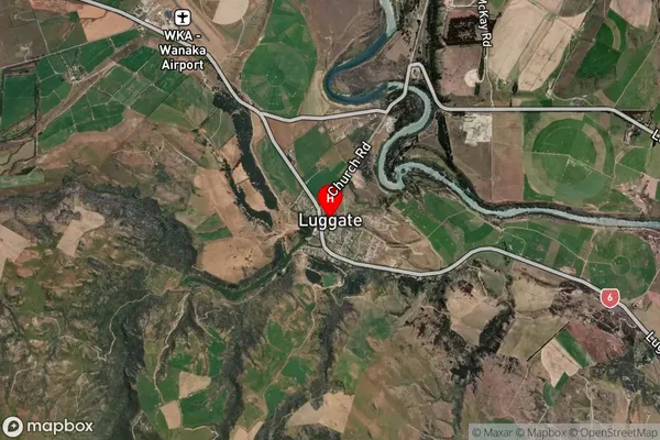
Locality in Town WanakaLuggate Suburb Map (Satellite)
Country
Main Region in AU
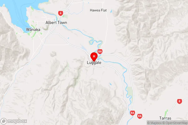
OtagoLuggate Region Map
Coordinates
-44.7456707,169.2698339 (latitude/longitude)Distances
The distance from Luggate, Wanaka, Queenstown-Lakes District to NZ Top 10 Cities