Arrowtown Suburbs & Region, Arrowtown Map & Postcodes in Arrowtown, Queenstown-lakes, Central Otago / Lakes District, Otago, South Island, New Zealand
Arrowtown Postcodes, Arrowtown ZipCodes, Arrowtown , Arrowtown Otago, Arrowtown Suburbs, Arrowtown Region, Arrowtown Map, Arrowtown Area
Arrowtown Region (Butel Park, Millbrook West, Otago Goldfields Region)
Arrowtown Suburbs
Arrowtown is a suburb place type in Queenstown-lakes, Central Otago / Lakes District, Otago, South Island, New Zealand, NZ. It contains 1 suburbs or localities.Arrowtown district
Queenstown-lakesArrowtown Region Map
Arrowtown Introduction
Arrowtown is a historic gold mining town in Otago, New Zealand. It is located in the Otago Central Goldfields, and was established in 1862. The town is known for its well-preserved Victorian architecture and its many historic buildings, including the Arrowtown Hall, the Chinese Settlement, and the St. John's Church. Arrowtown is a popular tourist destination and is home to many art galleries, museums, and restaurants. The town also hosts several events throughout the year, including the Arrowtown Autumn Festival and the Arrowtown Classic Car Festival.Arrowtown Region
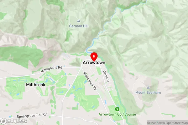
Arrowtown City
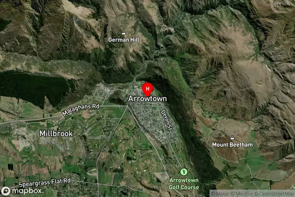
Arrowtown Satellite Map
Full Address
Arrowtown, Queenstown-lakes, Central Otago / Lakes District, Otago, South Island, New ZealandArrowtown Coordinates
-44.940563,168.835076 (Latitude / Longitude)Arrowtown Map in NZ

NZ Island
South IslandCountry
Arrowtown Area Map (Polygon)
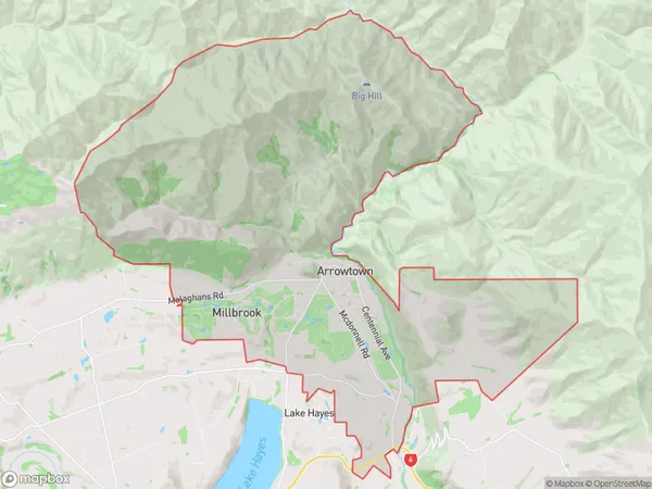
Name
ArrowtownAdditional Name
Butel Park, Millbrook West, Otago GoldfieldsLocal Authority
Queenstown-Lakes District
Arrowtown Suburbs (Sort by Population)
Arrowtown
Arrowtown - 3409