Arrowtown Area, Arrowtown Postcode(9302) & Map in Arrowtown
Arrowtown Area, Arrowtown Postcode(9302) & Map in Arrowtown, Queenstown-Lakes District, New Zealand
Arrowtown, Queenstown-Lakes District, New Zealand
Arrowtown Area (estimated)
71.3 square kilometersArrowtown Population (estimated)
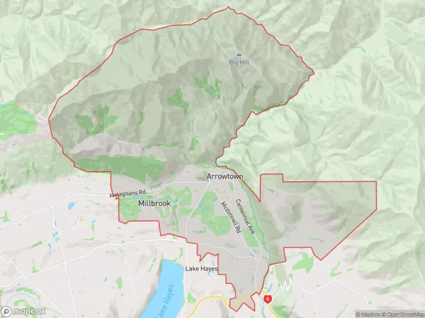
3409 people live in Arrowtown, Otago, NZArrowtown Suburb Area Map (Polygon)
Arrowtown Introduction
Arrowtown is a historic gold mining town in Otago, New Zealand. It is located in the Otago Central Goldfields, and was established in 1862. The town is known for its well-preserved Victorian-era architecture and its scenic surroundings. It is a popular tourist destination and is home to many museums, galleries, and restaurants.Region
Major City
Suburb Name
ArrowtownOther Name(s)
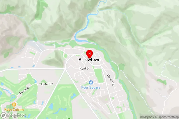
Butel Park, Millbrook West, Otago GoldfieldsArrowtown Area Map (Street)
Local Authority
Queenstown-Lakes DistrictFull Address
Arrowtown, Queenstown-Lakes District, New ZealandAddress Type
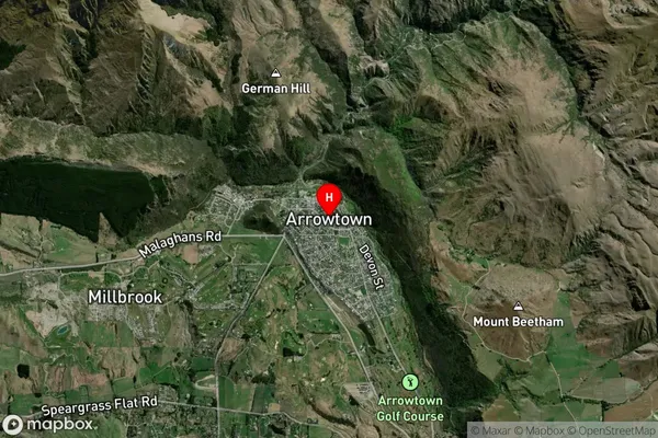
Suburb in Town ArrowtownArrowtown Suburb Map (Satellite)
Country
Main Region in AU
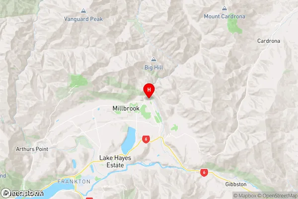
OtagoArrowtown Region Map
Coordinates
-44.9405627,168.8350761 (latitude/longitude)Distances
The distance from Arrowtown, Arrowtown, Queenstown-Lakes District to NZ Top 10 Cities