Oturehua Suburbs & Region, Oturehua Map & Postcodes in Oturehua, Central Otago, Central Otago / Lakes District, Otago, South Island, New Zealand
Oturehua Postcodes, Oturehua ZipCodes, Oturehua , Oturehua Otago, Oturehua Suburbs, Oturehua Region, Oturehua Map, Oturehua Area
Oturehua Region
Oturehua Suburbs
Oturehua is a suburb place type in Central Otago, Central Otago / Lakes District, Otago, South Island, New Zealand, NZ. It contains 4 suburbs or localities.Oturehua Postcodes
Oturehua district
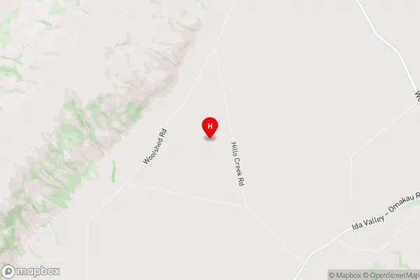
Central OtagoOturehua Region Map
Oturehua Introduction
Oturehua is a small town in Otago, New Zealand, located on the banks of the Otago Harbour. It is known for its beautiful beaches, scenic walks, and historic buildings. The town has a population of around 2,000 people and is a popular tourist destination. It is also home to a large number of artists and craftspeople, who work in a variety of mediums, including glassblowing, pottery, and weaving. Oturehua is surrounded by stunning natural scenery, including the Otago Peninsula, Mount Cargill, and the Taieri River. The town is also home to a number of important historical sites, including the Oturehua Castle, which was built in the 1860s.Oturehua Region
Oturehua City
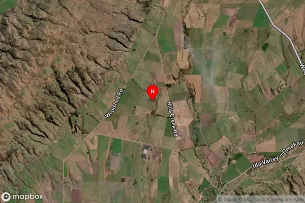
Oturehua Satellite Map
Full Address
Oturehua, Central Otago, Central Otago / Lakes District, Otago, South Island, New ZealandOturehua Coordinates
-44.980486,169.894579 (Latitude / Longitude)Oturehua Map in NZ
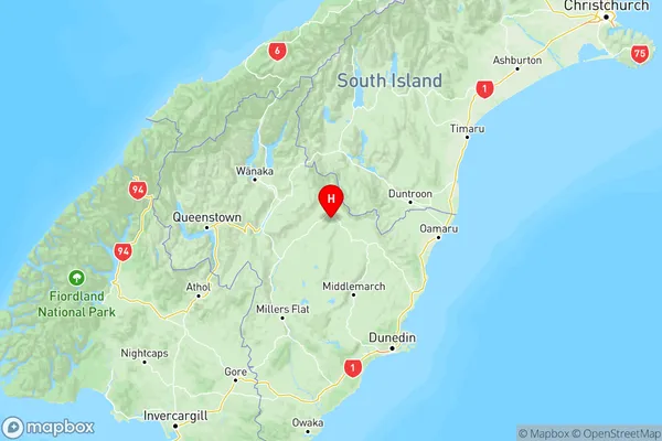
NZ Island
South IslandCountry
Oturehua Area Map (Polygon)
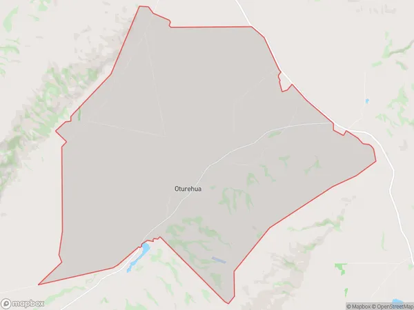
Name
OturehuaAdditional Name
Local Authority
Central Otago District
Oturehua Suburbs (Sort by Population)
Oturehua
Oturehua - 105Poolburn
Poolburn - 59Ida Valley
Ida Valley - 49Idaburn
Idaburn - 7