Ida Valley Area, Ida Valley Postcode & Map in Ida Valley
Ida Valley Area, Ida Valley Postcode & Map in Ida Valley, Central Otago District, New Zealand
Ida Valley, Central Otago District, New Zealand
Ida Valley Area (estimated)
135.7 square kilometersIda Valley Population (estimated)
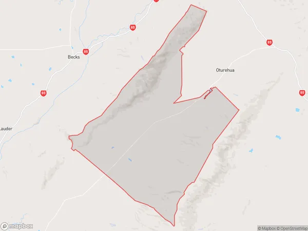
49 people live in Ida Valley, Otago, NZIda Valley Suburb Area Map (Polygon)
Ida Valley Introduction
Ida Valley is a small rural community located in the Otago region of New Zealand, known for its scenic landscapes, picturesque farms, and tranquil atmosphere. The area is surrounded by stunning mountains, including the Ida Mountains and the Mount Cargill Range, and is home to a variety of wildlife, including deer, rabbits, and mountain goats. The Ida Valley is also a popular destination for outdoor enthusiasts, with numerous hiking and biking trails, fishing spots, and hunting opportunities.Region
Major City
Suburb Name
Ida ValleyOther Name(s)
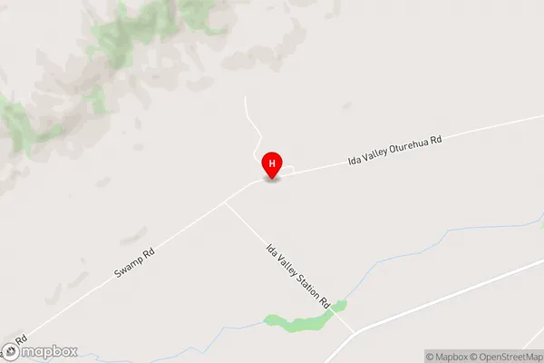
AuripoIda Valley Area Map (Street)
Local Authority
Central Otago DistrictFull Address
Ida Valley, Central Otago District, New ZealandAddress Type
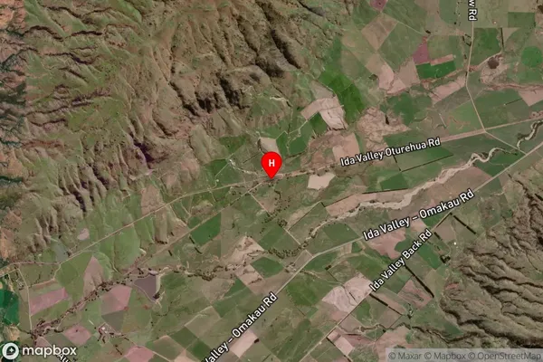
Locality in Major Locality OturehuaIda Valley Suburb Map (Satellite)
Country
Main Region in AU
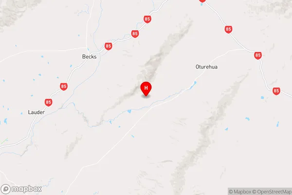
OtagoIda Valley Region Map
Coordinates
-45.0365948,169.8265743 (latitude/longitude)Distances
The distance from Ida Valley, Oturehua, Central Otago District to NZ Top 10 Cities