Millers Flat Suburbs & Region, Millers Flat Map & Postcodes in Millers Flat, Central Otago, Central Otago / Lakes District, Otago, South Island, New Zealand
Millers Flat Postcodes, Millers Flat ZipCodes, Millers Flat , Millers Flat Otago, Millers Flat Suburbs, Millers Flat Region, Millers Flat Map, Millers Flat Area
Millers Flat Region (Onslow, Otago Goldfields, Rigney Region)
Millers Flat Suburbs
Millers Flat is a suburb place type in Central Otago, Central Otago / Lakes District, Otago, South Island, New Zealand, NZ. It contains 0 suburbs or localities.Millers Flat district
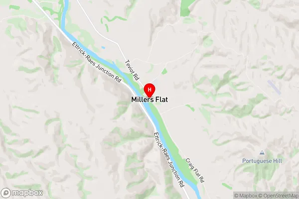
Central OtagoMillers Flat Region Map

Millers Flat Introduction
Millers Flat is a small rural community located in the Otago region of New Zealand. It is situated on the banks of the Clutha River, approximately 20 kilometers south of Dunedin. The area was first settled in the 1860s by Scottish immigrants and has since developed into a popular tourist destination. Visitors can enjoy scenic walks, fishing, and boating on the river, as well as explore the nearby historic landmarks such as the Taieri Gorge and the Otago Central Rail Trail. The community also has a primary school, a post office, and a small supermarket.Millers Flat Region
Millers Flat City
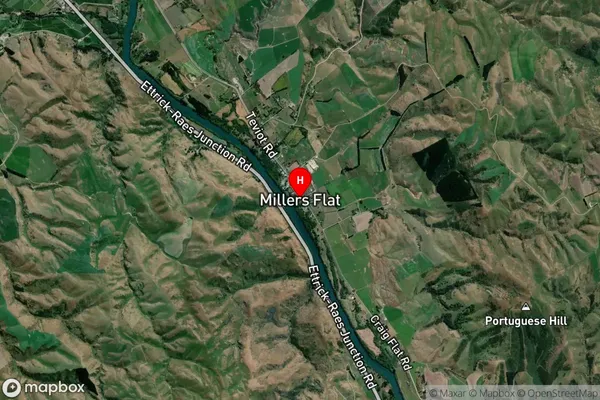
Millers Flat Satellite Map

Full Address
Millers Flat, Central Otago, Central Otago / Lakes District, Otago, South Island, New ZealandMillers Flat Coordinates
-45.663904,169.411538 (Latitude / Longitude)Millers Flat Map in NZ

NZ Island
South IslandCountry
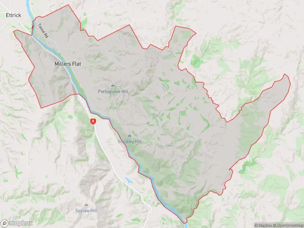
Millers Flat Area Map (Polygon)

Name
Millers FlatAdditional Name
Onslow, Otago Goldfields, RigneyLocal Authority
Central Otago District
Millers Flat Suburbs (Sort by Population)
Millers Flat also known as Onslow, Otago Goldfields, Rigney. Millers Flat suburb has around
128.8 square
kilometers.There are more than 230 people (estimated)
live in Millers Flat, Teviot Valley Community, Otago, New Zealand.