Bannockburn Suburbs & Region, Bannockburn Map & Postcodes in Bannockburn, Central Otago, Central Otago / Lakes District, Otago, South Island, New Zealand
Bannockburn Postcodes, Bannockburn ZipCodes, Bannockburn , Bannockburn Otago, Bannockburn Suburbs, Bannockburn Region, Bannockburn Map, Bannockburn Area
Bannockburn Region (Otago Goldfields Region)
Bannockburn Suburbs
Bannockburn is a suburb place type in Central Otago, Central Otago / Lakes District, Otago, South Island, New Zealand, NZ. It contains 0 suburbs or localities.Bannockburn Postcodes
Bannockburn district
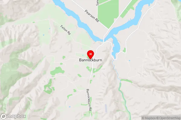
Central OtagoBannockburn Region Map
Bannockburn Introduction
Bannockburn is a small township located in the Otago region of New Zealand. It is situated on the banks of the Clutha River, approximately 30 kilometers south of Dunedin. The township was established in the 1860s to service the surrounding farming community and has since grown into a thriving rural community with a population of around 2,000 people. Bannockburn is known for its picturesque scenery, including rolling hills, farmland, and the Clutha River. The area is popular with outdoor enthusiasts, with many walking and cycling trails, and a range of recreational facilities, including a golf course and a swimming pool. The town also has a primary school, a post office, a supermarket, and a variety of small businesses and cafes. Bannockburn is located in the Central Otago District, which is known for its rich heritage and stunning landscapes. The area is home to a number of historic buildings, including the Bannockburn Castle, which is a medieval castle that was built in the 14th century. The castle is now a popular tourist attraction and is open to the public for tours. In conclusion, Bannockburn is a small rural community with a rich history and a beautiful natural environment. It is a popular destination for tourists and outdoor enthusiasts, and is known for its friendly community and welcoming atmosphere.Bannockburn Region
Bannockburn City
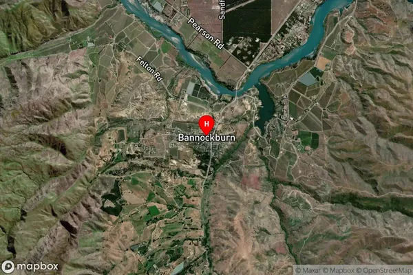
Bannockburn Satellite Map
Full Address
Bannockburn, Central Otago, Central Otago / Lakes District, Otago, South Island, New ZealandBannockburn Coordinates
-45.088368,169.16001 (Latitude / Longitude)Bannockburn Map in NZ

NZ Island
South IslandCountry
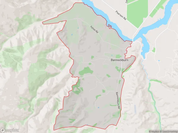
Bannockburn Area Map (Polygon)
Name
BannockburnAdditional Name
Otago GoldfieldsLocal Authority
Central Otago District
Bannockburn Suburbs (Sort by Population)
Bannockburn also known as Otago Goldfields. Bannockburn suburb has around
15.5 square
kilometers.There are more than 541 people (estimated)
live in Bannockburn, Central Otago / Lakes District, Otago, New Zealand.