Bannockburn Area, Bannockburn Postcode & Map in Bannockburn
Bannockburn Area, Bannockburn Postcode & Map in Bannockburn, Central Otago District, New Zealand
Bannockburn, Central Otago District, New Zealand
Bannockburn Area (estimated)
15.5 square kilometersBannockburn Population (estimated)
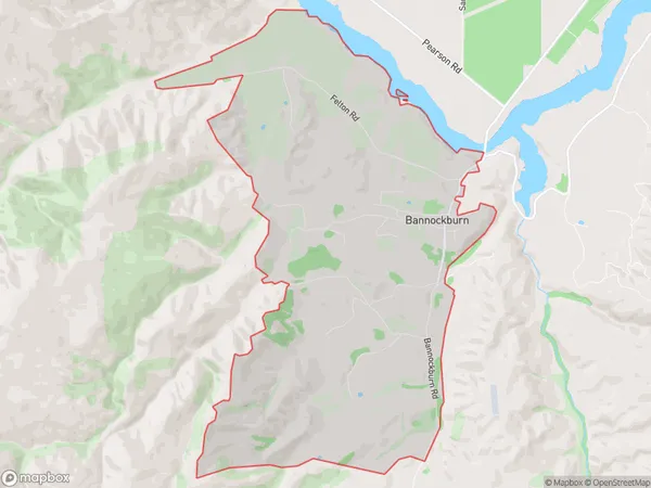
541 people live in Bannockburn, Otago, NZBannockburn Suburb Area Map (Polygon)
Bannockburn Introduction
Bannockburn is a small town in Otago, New Zealand, located on the banks of the Clutha River. It is known for its historic Scottish connections, with the Bannockburn Battle being fought nearby in 1314. The town has a population of around 3,000 people and is a popular tourist destination, particularly for its scenic surroundings and outdoor activities.Region
Major City
Suburb Name
BannockburnOther Name(s)
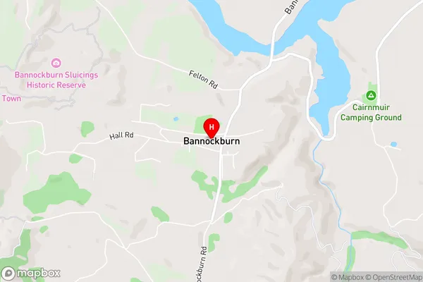
Otago GoldfieldsBannockburn Area Map (Street)
Local Authority
Central Otago DistrictFull Address
Bannockburn, Central Otago District, New ZealandAddress Type
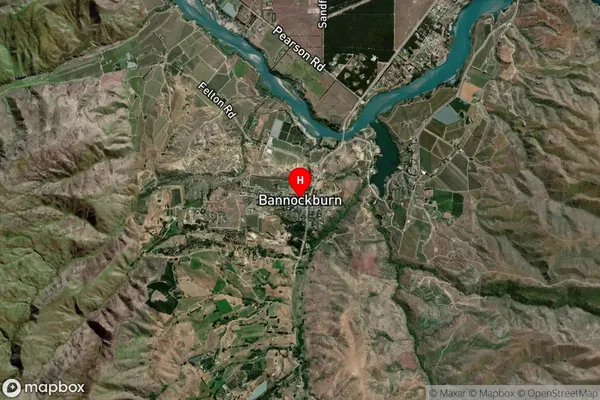
Locality in Town CromwellBannockburn Suburb Map (Satellite)
Country
Main Region in AU
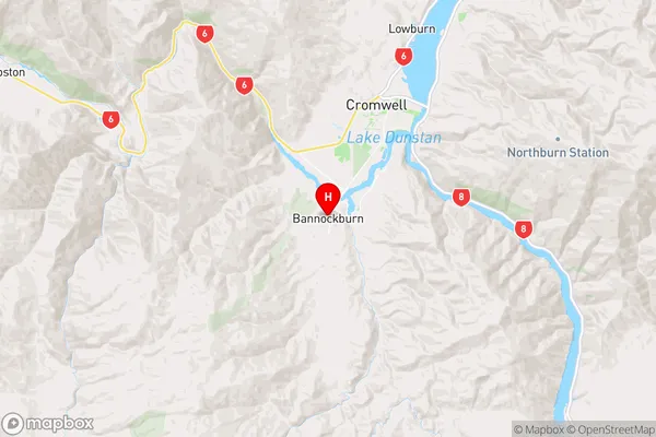
OtagoBannockburn Region Map
Coordinates
-45.088368,169.1600101 (latitude/longitude)Distances
The distance from Bannockburn, Cromwell, Central Otago District to NZ Top 10 Cities