Otaio Suburbs & Region, Otaio Map & Postcodes in Otaio, Waimate, Canterbury
Otaio Postcodes, Otaio ZipCodes, Otaio , Otaio Canterbury, Otaio Suburbs, Otaio Region, Otaio Map, Otaio Area
Otaio Region (Blue Cliffs, Esk Valley, Kohika, Otaio Gorge Region)
Otaio Suburbs
Otaio is a suburb place type in Waimate, Canterbury, NZ. It contains 0 suburbs or localities.Otaio Region Map
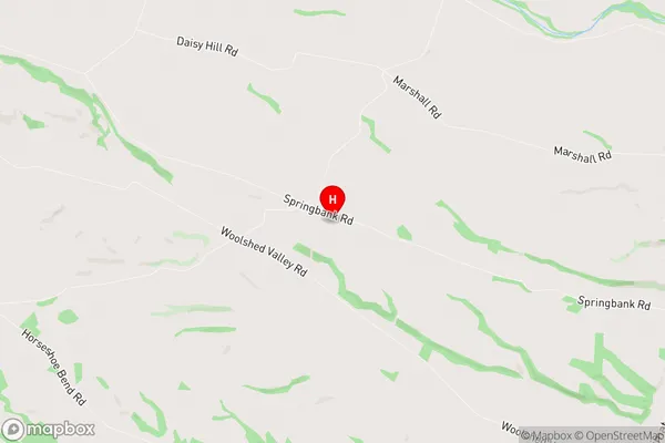
Otaio Introduction
Otaio is a small rural town in Canterbury, New Zealand, located 12 kilometers southeast of Ashburton. It is known for its picturesque rural setting, with rolling hills, farmland, and picturesque rivers. The town has a population of around 1,000 people and is home to a variety of businesses, including a supermarket, a hotel, and a golf course. Otaio is also a popular destination for outdoor enthusiasts, with numerous hiking and cycling trails nearby. The town is surrounded by stunning natural scenery, including the Mount Grey Conservation Park and the Rakaia Gorge.Otaio Region
Otaio City
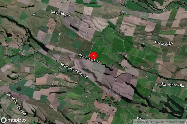
Otaio Satellite Map
Full Address
Otaio, Waimate, CanterburyOtaio Coordinates
-44.560782,171.105139 (Latitude / Longitude)Otaio Map in NZ
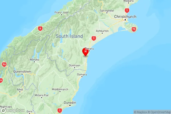
NZ Island
South IslandCountry
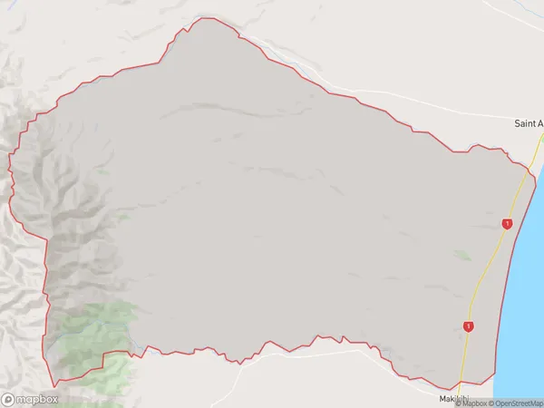
Otaio Area Map (Polygon)
Name
OtaioAdditional Name
Blue Cliffs, Esk Valley, Kohika, Otaio GorgeLocal Authority
Waimate District
Otaio Suburbs (Sort by Population)
Otaio also known as Blue Cliffs, Esk Valley, Kohika, Otaio Gorge. Otaio suburb has around
274.7 square
kilometers.There are more than 460 people (estimated)
live in Otaio, Waimate, Canterbury, New Zealand.