Otaio Area, Otaio Postcode(7971) & Map in Otaio
Otaio Area, Otaio Postcode(7971) & Map in Otaio, Waimate District, New Zealand
Otaio, Waimate District, New Zealand
Otaio Postcodes
Otaio Area (estimated)
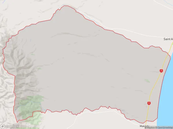
274.7 square kilometersOtaio Population (estimated)
460 people live in Otaio, Canterbury, NZOtaio Suburb Area Map (Polygon)
Otaio Introduction
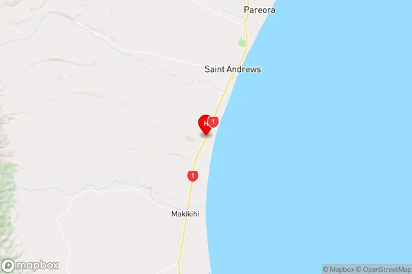
Otaio is a small rural town in the Canterbury region of New Zealand, located 12 kilometers southeast of Saint Andrews. It is known for its picturesque rural setting, with rolling hills and farmland surrounding the town. The Otaio River flows through the town, providing water for irrigation and fishing. The town has a population of around 100 people and is a popular destination for tourists who enjoy the peace and quiet of the countryside.Region
Major City
Suburb Name
OtaioOther Name(s)
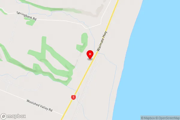
Blue Cliffs, Esk Valley, Kohika, Otaio GorgeOtaio Area Map (Street)
Local Authority
Waimate DistrictFull Address
Otaio, Waimate District, New ZealandAddress Type
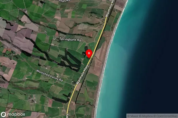
Locality in Major Locality Saint AndrewsOtaio Suburb Map (Satellite)
Country
Main Region in AU
CanterburyOtaio Region Map
Coordinates
-44.577918,171.1596567 (latitude/longitude)Distances
The distance from Otaio, Saint Andrews, Waimate District to NZ Top 10 Cities