Morven Suburbs & Region, Morven Map & Postcodes in Morven, Waimate, Canterbury
Morven Postcodes, Morven ZipCodes, Morven , Morven Canterbury, Morven Suburbs, Morven Region, Morven Map, Morven Area
Morven Region (Broad Gully, Grays Corner, Pikes Point Region)
Morven Suburbs
Morven is a suburb place type in Waimate, Canterbury, NZ. It contains 0 suburbs or localities.Morven Postcodes
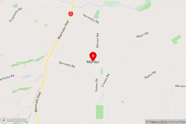
Morven Region Map
Morven Introduction
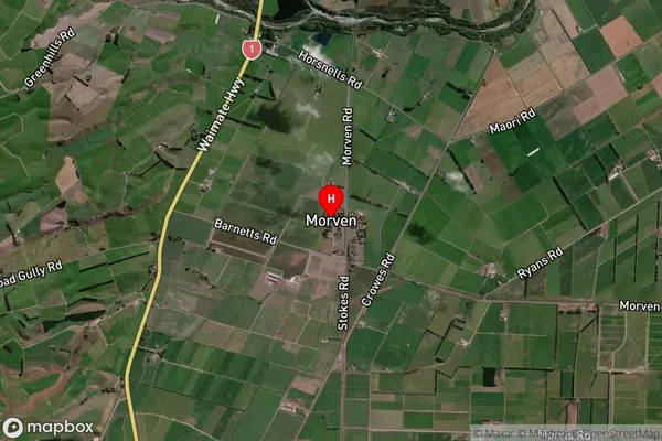
Morven is a small rural town in Canterbury, New Zealand, located in the Ashburton District. It is situated on the banks of the Morven River, approximately 10 kilometers south of Ashburton. The town has a population of around 300 people and is known for its scenic rural surroundings, including rolling hills, farmland, and picturesque gardens. Morven is a popular destination for outdoor enthusiasts, with numerous hiking and cycling trails in the surrounding area. The town also has a community hall, a primary school, and a small supermarket.Morven Region
Morven City
Morven Satellite Map
Full Address
Morven, Waimate, CanterburyMorven Coordinates
-44.817783,171.108209 (Latitude / Longitude)Morven Map in NZ
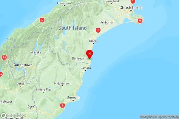
NZ Island
South IslandCountry
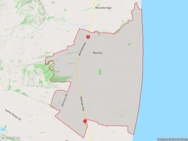
Morven Area Map (Polygon)
Name
MorvenAdditional Name
Broad Gully, Grays Corner, Pikes PointLocal Authority
Waimate District
Morven Suburbs (Sort by Population)
Morven also known as Broad Gully, Grays Corner, Pikes Point. Morven suburb has around
128.0 square
kilometers.There are more than 378 people (estimated)
live in Morven, Waimate, Canterbury, New Zealand.