Morven Area, Morven Postcode(7980) & Map in Morven
Morven Area, Morven Postcode(7980) & Map in Morven, Waimate District, New Zealand
Morven, Waimate District, New Zealand
Morven Postcodes
Morven Area (estimated)
128.0 square kilometersMorven Population (estimated)
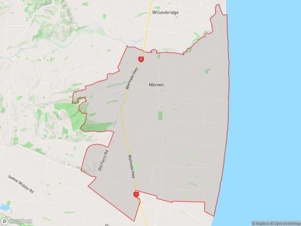
378 people live in Morven, Canterbury, NZMorven Suburb Area Map (Polygon)
Morven Introduction
Morven is a small town in Waimate, Canterbury, New Zealand. It is located on the banks of the Waimate River and is known for its beautiful rural scenery and historic buildings. The town has a population of around 1,000 people and is a popular destination for tourists and outdoor enthusiasts. Morven is also home to a number of agricultural businesses, including a cheese factory and a vineyard.Region
Major City
Suburb Name
MorvenOther Name(s)
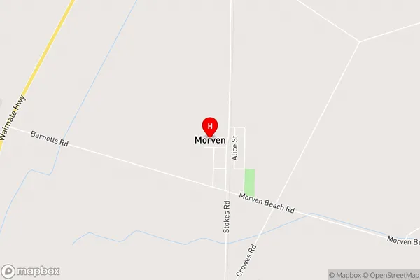
Broad Gully, Grays Corner, Pikes PointMorven Area Map (Street)
Local Authority
Waimate DistrictFull Address
Morven, Waimate District, New ZealandAddress Type
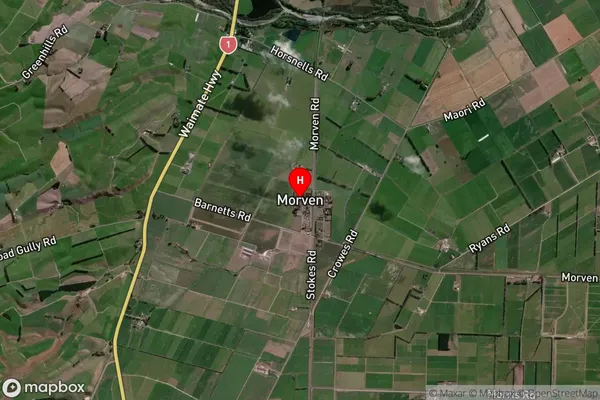
Locality in Town WaimateMorven Suburb Map (Satellite)
Country
Main Region in AU
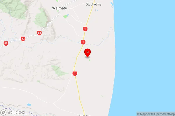
CanterburyMorven Region Map
Coordinates
-44.8177831,171.1082088 (latitude/longitude)Distances
The distance from Morven, Waimate, Waimate District to NZ Top 10 Cities