Maungati Suburbs & Region, Maungati Map & Postcodes in Maungati, Waimate, Canterbury
Maungati Postcodes, Maungati ZipCodes, Maungati , Maungati Canterbury, Maungati Suburbs, Maungati Region, Maungati Map, Maungati Area
Maungati Region (Gordons Valley, Motukaika, Riverview Region)
Maungati Suburbs
Maungati is a suburb place type in Waimate, Canterbury, NZ. It contains 0 suburbs or localities.Maungati Region Map
Maungati Introduction
Maungati is a small rural community in the Canterbury region of New Zealand, located 12 kilometers southeast of Timaru. It is known for its picturesque rural scenery, with rolling hills, farms, and picturesque gardens. The community has a population of around 100 people and is home to a variety of businesses, including a convenience store, a post office, and a pub. Maungati is also home to a number of historic buildings, including the Maungati Church, which was built in 1876. The community is surrounded by beautiful countryside and is a popular destination for outdoor activities such as hiking, cycling, and fishing.Maungati Region
Maungati City
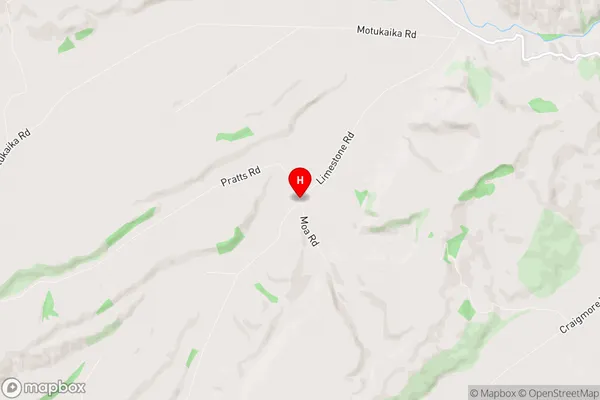
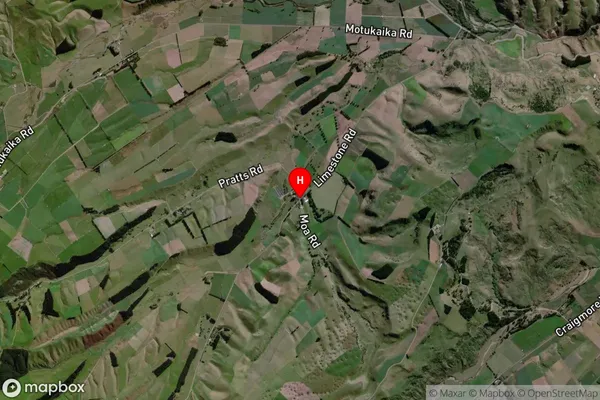
Maungati Satellite Map
Full Address
Maungati, Waimate, CanterburyMaungati Coordinates
-44.4180591,170.9699392 (Latitude / Longitude)Maungati Map in NZ
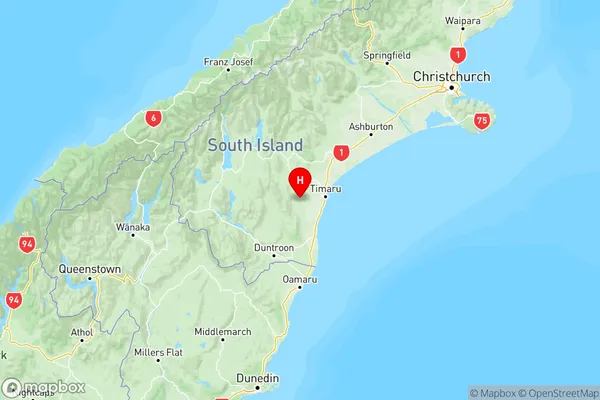
NZ Island
South IslandCountry
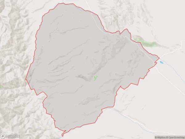
Maungati Area Map (Polygon)
Name
MaungatiAdditional Name
Gordons Valley, Motukaika, RiverviewLocal Authority
Waimate District
Maungati Suburbs (Sort by Population)
Maungati also known as Gordons Valley, Motukaika, Riverview. Maungati suburb has around
218.1 square
kilometers.There are more than 302 people (estimated)
live in Maungati, Waimate, Canterbury, New Zealand.