Maungati Area, Maungati Postcode(7924) & Map in Maungati
Maungati Area, Maungati Postcode(7924) & Map in Maungati, Waimate District, New Zealand
Maungati, Waimate District, New Zealand
Maungati Postcodes
Maungati Area (estimated)
218.1 square kilometersMaungati Population (estimated)
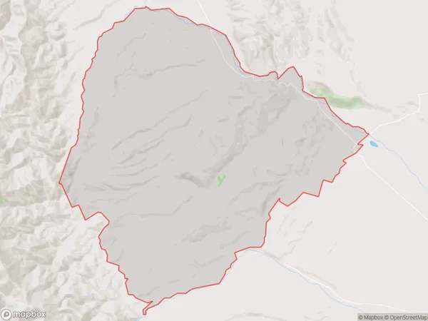
302 people live in Maungati, Canterbury, NZMaungati Suburb Area Map (Polygon)
Maungati Introduction
Maungati is a small rural community in Southburn, Canterbury, New Zealand. It is located on State Highway 73, approximately 10 kilometers south of Christchurch. The area is known for its scenic rural landscapes, with rolling hills and farmland surrounding the village. Maungati has a population of around 500 people and is home to a primary school, a church, and a small convenience store. The community is surrounded by beautiful natural attractions, including the Rakaia Gorge, Hanmer Springs, and the Ashley River.Region
Major City
Suburb Name
MaungatiOther Name(s)
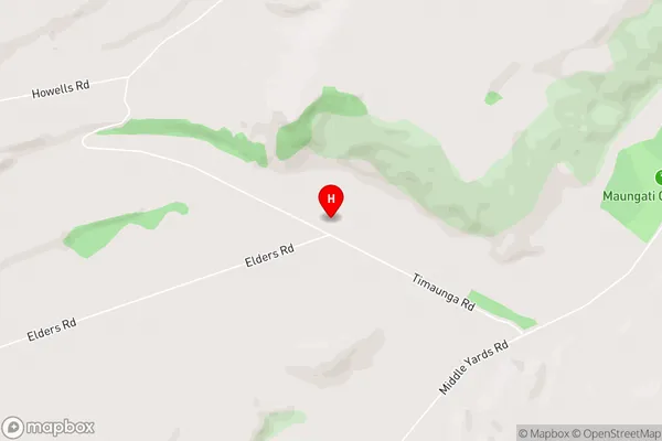
Gordons Valley, Motukaika, RiverviewMaungati Area Map (Street)
Local Authority
Waimate DistrictFull Address
Maungati, Waimate District, New ZealandAddress Type
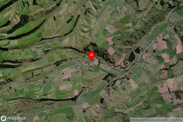
Locality in Major Locality SouthburnMaungati Suburb Map (Satellite)
Country
Main Region in AU
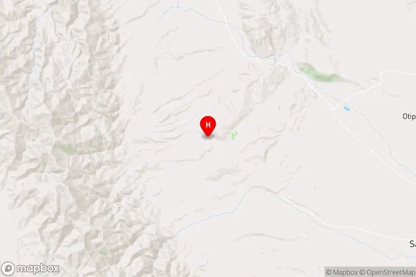
CanterburyMaungati Region Map
Coordinates
-44.4548037,170.9588421 (latitude/longitude)Distances
The distance from Maungati, Southburn, Waimate District to NZ Top 10 Cities