Kirkliston Suburbs & Region, Kirkliston Map & Postcodes in Kirkliston, Waimate, Canterbury
Kirkliston Postcodes, Kirkliston ZipCodes, Kirkliston , Kirkliston Canterbury, Kirkliston Suburbs, Kirkliston Region, Kirkliston Map, Kirkliston Area
Kirkliston Region
Kirkliston Suburbs
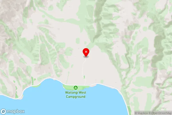
Kirkliston is a suburb place type in Waimate, Canterbury, NZ. It contains 0 suburbs or localities.Kirkliston Region Map

Kirkliston Introduction
Kirkliston is a suburb of Christchurch, New Zealand, located in the eastern suburbs of the city. It is known for its large population of Pacific Islanders and has a strong sense of community. The suburb has a variety of shops, restaurants, and recreational facilities, including a golf course and a swimming pool. Kirkliston is also home to a number of important historical sites, including the Kirkliston War Memorial and the St. Paul's Anglican Church.Kirkliston Region
Kirkliston City
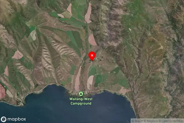
Kirkliston Satellite Map

Full Address
Kirkliston, Waimate, CanterburyKirkliston Coordinates
-44.5898964,170.3084438 (Latitude / Longitude)Kirkliston Map in NZ

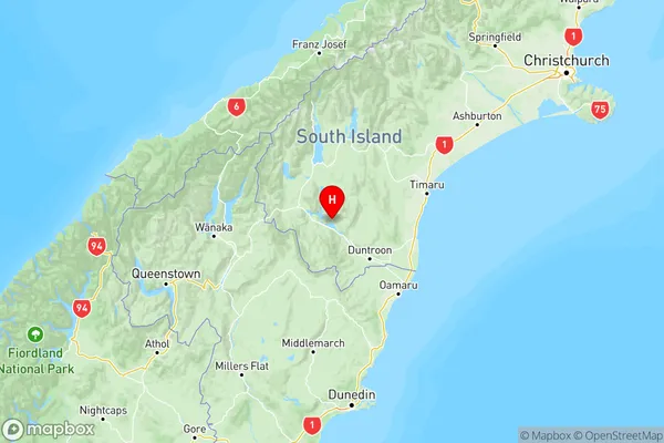
NZ Island
South IslandCountry
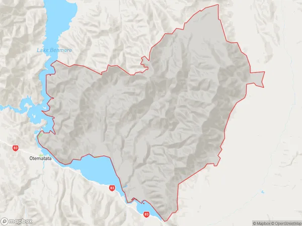
Kirkliston Area Map (Polygon)

Name
KirklistonAdditional Name
Local Authority
Waimate District
Kirkliston Suburbs (Sort by Population)
Kirkliston suburb has around
683.7 square
kilometers.There are more than 33 people (estimated)
live in Kirkliston, Waimate, Canterbury, New Zealand.