Kirkliston Area, Kirkliston Postcode & Map in Kirkliston
Kirkliston Area, Kirkliston Postcode & Map in Kirkliston, Waimate District,
Kirkliston, Waimate District,
Kirkliston Area (estimated)
683.7 square kilometersKirkliston Population (estimated)
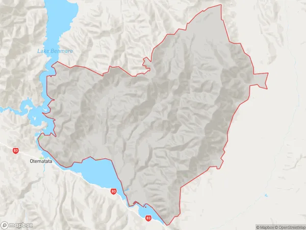
33 people live in Kirkliston, Waimate, NZKirkliston Suburb Area Map (Polygon)
Kirkliston Introduction
Kirkliston is a small rural community in the Hakataramea Valley, Canterbury, New Zealand. It is known for its picturesque rural scenery, friendly locals, and agricultural pursuits, including sheep farming and horticulture. The area has a rich history and was once home to a significant Māori population. Kirkliston also has a popular golf course and a community hall that hosts various events and activities throughout the year.Region
Major City
Suburb Name
KirklistonKirkliston Area Map (Street)
Local Authority
Waimate DistrictFull Address
Kirkliston, Waimate District,Address Type
Locality in Major Locality Hakataramea ValleyKirkliston Suburb Map (Satellite)
Country
Main Region in AU
CanterburyKirkliston Region Map
Coordinates
0,0 (latitude/longitude)Distances
The distance from Kirkliston, Hakataramea Valley, Waimate District to NZ Top 10 Cities