Elephant Hill Suburbs & Region, Elephant Hill Map & Postcodes in Elephant Hill, Waimate, Canterbury
Elephant Hill Postcodes, Elephant Hill ZipCodes, Elephant Hill , Elephant Hill Canterbury, Elephant Hill Suburbs, Elephant Hill Region, Elephant Hill Map, Elephant Hill Area
Elephant Hill Region
Elephant Hill Suburbs
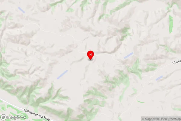
Elephant Hill is a suburb place type in Waimate, Canterbury, NZ. It contains 0 suburbs or localities.Elephant Hill Region Map
Elephant Hill Introduction
Elephant Hill is a prominent hill in Canterbury, New Zealand, located southeast of Christchurch. It is known for its scenic views of the city, the Southern Alps, and the Canterbury Plains. The hill is a popular destination for hiking, mountain biking, and picnicking, with several walking trails and tracks leading to the top. The hill was named after a giant elephant that was said to have roamed the area in the 18th century.Elephant Hill Region
Elephant Hill City
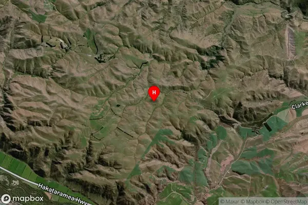
Elephant Hill Satellite Map
Full Address
Elephant Hill, Waimate, CanterburyElephant Hill Coordinates
-44.824458,170.755027 (Latitude / Longitude)Elephant Hill Map in NZ
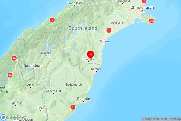
NZ Island
South IslandCountry
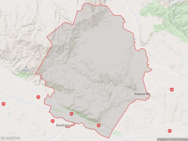
Elephant Hill Area Map (Polygon)
Name
Elephant HillAdditional Name
Local Authority
Waimate District
Elephant Hill Suburbs (Sort by Population)
Elephant Hill suburb has around
267.6 square
kilometers.There are more than 137 people (estimated)
live in Elephant Hill, Waimate, Canterbury, New Zealand.