Elephant Hill Area, Elephant Hill Postcode(7924) & Map in Elephant Hill
Elephant Hill Area, Elephant Hill Postcode(7924) & Map in Elephant Hill, Waimate District, New Zealand
Elephant Hill, Waimate District, New Zealand
Elephant Hill Postcodes
Elephant Hill Area (estimated)
267.6 square kilometersElephant Hill Population (estimated)
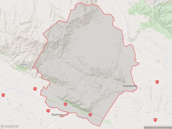
137 people live in Elephant Hill, Canterbury, NZElephant Hill Suburb Area Map (Polygon)
Elephant Hill Introduction
Elephant Hill is a prominent hill in Waimate, Canterbury, New Zealand, known for its striking shape and panoramic views of the surrounding area. It is a popular destination for hiking, with several trails leading to the summit. The hill is named after a giant elephant statue that was once located at the top, but it has since been removed.Region
Major City
Suburb Name
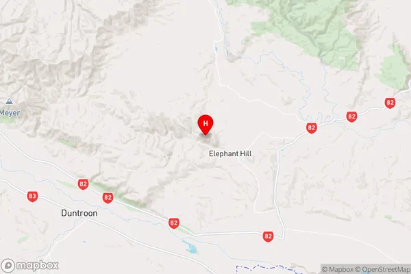
Elephant HillElephant Hill Area Map (Street)
Local Authority
Waimate DistrictFull Address
Elephant Hill, Waimate District, New ZealandAddress Type
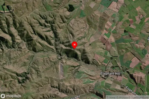
Locality in Town WaimateElephant Hill Suburb Map (Satellite)
Country
Main Region in AU
CanterburyElephant Hill Region Map
Coordinates
-44.799806,170.809806 (latitude/longitude)Distances
The distance from Elephant Hill, Waimate, Waimate District to NZ Top 10 Cities