Waikuku Suburbs & Region, Waikuku Map & Postcodes in Waikuku, Waimakariri, Canterbury

Waikuku Postcodes, Waikuku ZipCodes, Waikuku , Waikuku Canterbury, Waikuku Suburbs, Waikuku Region, Waikuku Map, Waikuku Area

Waikuku Region

  • Waikuku Suburbs

    Waikuku is a suburb place type in Waimakariri, Canterbury, NZ. It contains 1 suburbs or localities.
  • Waikuku Postcodes

    740074027473
  • Waikuku district

    Waimakariri
  • Waikuku Region Map

    Waikuku, Canterbury Region Map
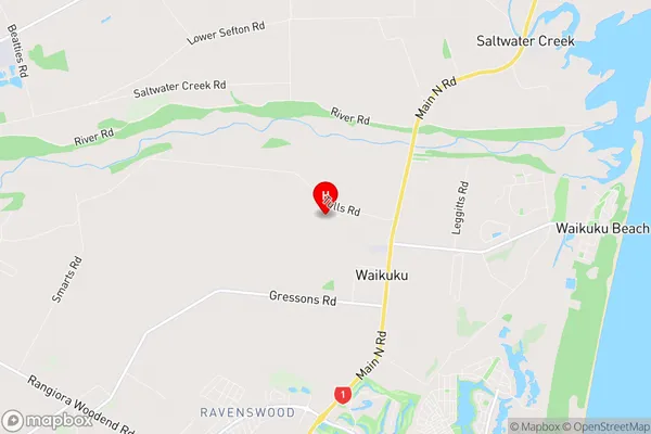
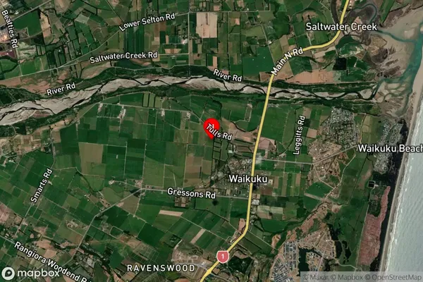
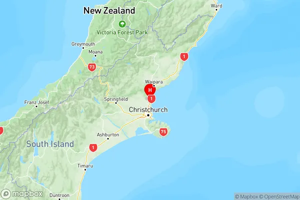
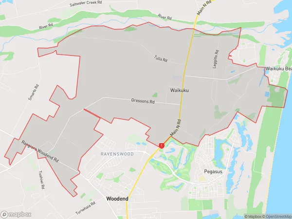
  • Waikuku Introduction

    Waikuku is a small town in Canterbury, New Zealand, located on the banks of the Waikuku River. It is known for its beautiful beaches, lush green gardens, and historic buildings. The town has a population of around 2,000 people and is a popular destination for tourists and locals alike. The Waikuku River is a major tributary of the Hurunui River, and the town is situated at the junction of State Highway 1 and the Waikuku Coast Highway. The town has a number of historic buildings, including the Waikuku Hotel, which was built in 1877, and the St. John's Anglican Church, which was built in 1879. The Waikuku Beach is a popular spot for swimming, surfing, and fishing, and the nearby Waikuku Forest Park is a popular spot for hiking and picnicking. The town also has a number of cafes and restaurants, as well as a supermarket and a medical center.
  • Waikuku Region

  • Waikuku City

  • Waikuku Satellite Map

    Waikuku, Canterbury Satellite Map
  • Full Address

    Waikuku, Waimakariri, Canterbury
  • Waikuku Coordinates

    -43.286362,172.674769 (Latitude / Longitude)
  • Waikuku Map in NZ

    Waikuku, Canterbury Region Map
  • NZ Island

    South Island
  • Waikuku Area Map (Polygon)

    Waikuku, Manawatu-Wanganui Polygon Area Map
  • Name

    Waikuku
  • Additional Name

  • Local Authority

    Waimakariri District

Waikuku Suburbs (Sort by Population)

Waikuku Suburbs (Sort in alphabetical)