Waikuku Area, Waikuku Postcode(7400) & Map in Waikuku
Waikuku Area, Waikuku Postcode(7400) & Map in Waikuku, Waimakariri District, New Zealand
Waikuku, Waimakariri District, New Zealand
Waikuku Postcodes
Waikuku Area (estimated)
20.8 square kilometersWaikuku Population (estimated)
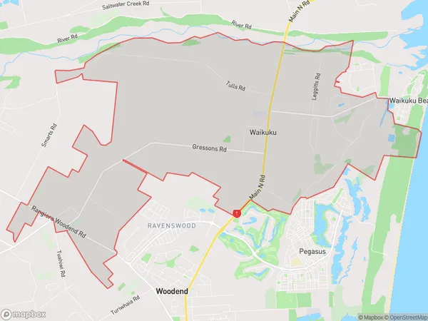
628 people live in Waikuku, Manawatu-Wanganui, NZWaikuku Suburb Area Map (Polygon)
Waikuku Introduction
Waikuku is a small town in the Manawatu-Wanganui region of New Zealand. It is located on State Highway 3, approximately 35 km south of Palmerston North and 12 km north of Waikato. The town has a population of around 1,200 people and is known for its scenic surroundings, including the Waikuku River and the Waikuku Beach. The town has a primary school, a post office, a supermarket, and a variety of cafes and restaurants. Waikuku also hosts a number of events throughout the year, including the Waikuku Classic Car Show and the Waikuku Festival of Lights.Region
Major City
Suburb Name
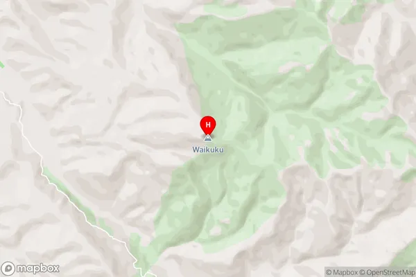
WaikukuWaikuku Area Map (Street)
Local Authority
Waimakariri DistrictFull Address
Waikuku, Waimakariri District, New ZealandAddress Type
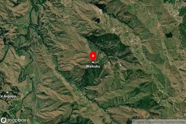
Locality in Major Locality WaikukuWaikuku Suburb Map (Satellite)
Country
Main Region in AU
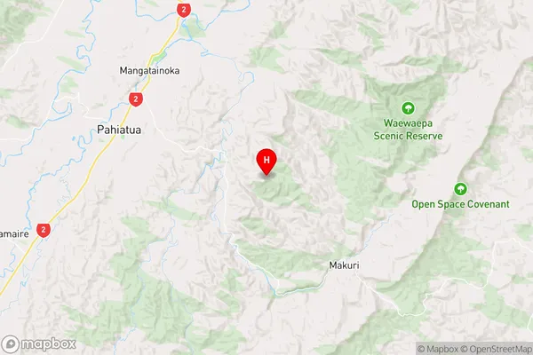
Manawatu-WanganuiWaikuku Region Map
Coordinates
-40.4815925,175.9546727 (latitude/longitude)Distances
The distance from Waikuku, Waikuku, Waimakariri District to NZ Top 10 Cities