Glentui Suburbs & Region, Glentui Map & Postcodes in Glentui, Waimakariri, Canterbury
Glentui Postcodes, Glentui ZipCodes, Glentui , Glentui Canterbury, Glentui Suburbs, Glentui Region, Glentui Map, Glentui Area
Glentui Region
Glentui Suburbs
Glentui is a suburb place type in Waimakariri, Canterbury, NZ. It contains 0 suburbs or localities.Glentui district
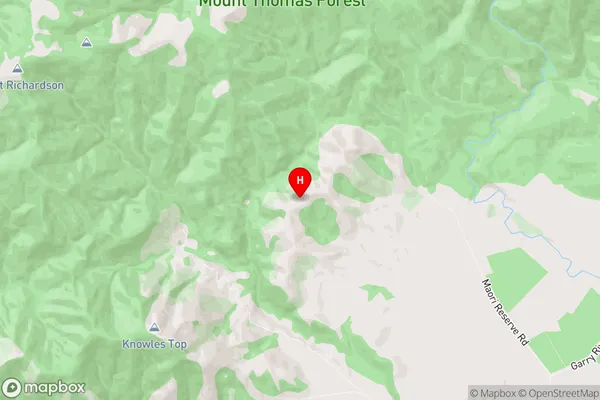
WaimakaririGlentui Region Map
Glentui Introduction
Glentui is a small rural community in Canterbury, New Zealand, located in the Ashburton District. It is situated on the banks of the Glentui River, approximately 12 kilometers south of Ashburton town. The community has a population of around 300 people and is known for its scenic surroundings, including the Glentui Forest Park and the Glentui Hills. The area has a rich history, with early European settlers arriving in the 1860s. The community has a primary school, a post office, a convenience store, and a community hall. Glentui is also home to a variety of recreational facilities, including a golf course and a sports complex. The surrounding area is popular for outdoor activities such as hiking, cycling, and fishing, and the community is a popular destination for tourists.Glentui Region
Glentui City
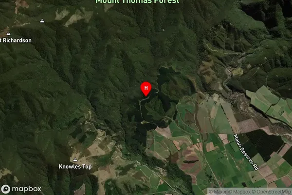
Glentui Satellite Map
Full Address
Glentui, Waimakariri, CanterburyGlentui Coordinates
-43.196897,172.27124 (Latitude / Longitude)Glentui Map in NZ
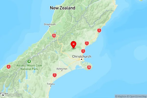
NZ Island
South IslandCountry
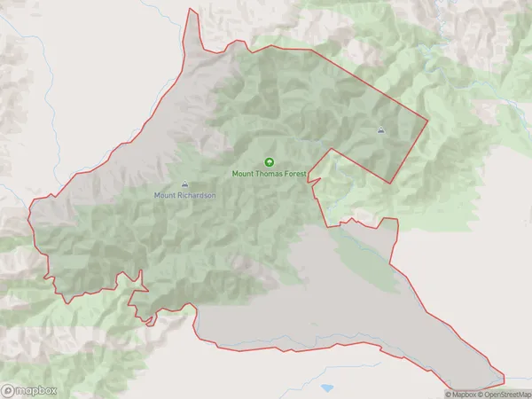
Glentui Area Map (Polygon)
Name
GlentuiAdditional Name
Local Authority
Waimakariri District
Glentui Suburbs (Sort by Population)
Glentui suburb has around
195.3 square
kilometers.There are more than 119 people (estimated)
live in Glentui, Oxford, Canterbury, New Zealand.