Fernside Suburbs & Region, Fernside Map & Postcodes in Fernside, Waimakariri, Canterbury
Fernside Postcodes, Fernside ZipCodes, Fernside , Fernside Canterbury, Fernside Suburbs, Fernside Region, Fernside Map, Fernside Area
Fernside Region
Fernside Suburbs
Fernside is a suburb place type in Waimakariri, Canterbury, NZ. It contains 0 suburbs or localities.Fernside Postcodes
Fernside district
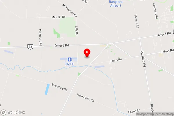
WaimakaririFernside Region Map
Fernside Introduction
Fernside is a suburb of Christchurch, New Zealand, located 5 km east of the city center. It is known for its picturesque gardens, historic homes, and vibrant community. The area was developed in the late 19th century and was named after the ferns that lined the streets. Fernside has a variety of shops, cafes, and restaurants, as well as a community center and library. The suburb is also home to several parks and recreational facilities, including the Fernside Park and Recreation Center.Fernside Region
Fernside City
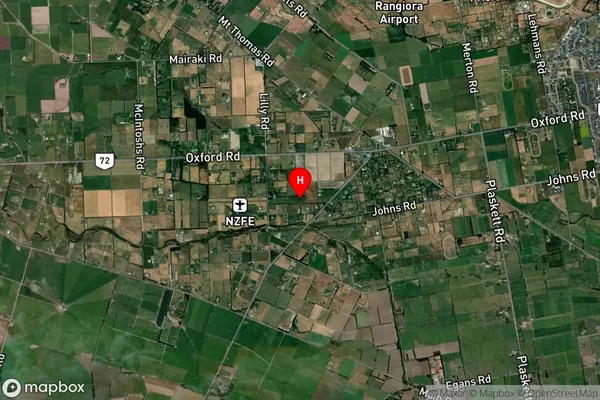
Fernside Satellite Map
Full Address
Fernside, Waimakariri, CanterburyFernside Coordinates
-43.317181,172.522802 (Latitude / Longitude)Fernside Map in NZ
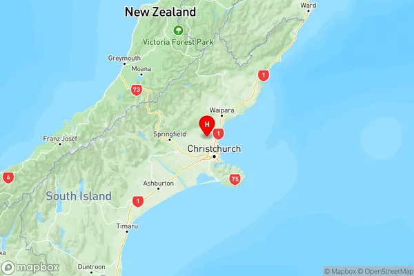
NZ Island
South IslandCountry
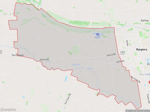
Fernside Area Map (Polygon)
Name
FernsideAdditional Name
Local Authority
Waimakariri District
Fernside Suburbs (Sort by Population)
Fernside suburb has around
82.5 square
kilometers.There are more than 2009 people (estimated)
live in Fernside, Rangiora, Canterbury, New Zealand.