Fernside Area, Fernside Postcode(7400) & Map in Fernside
Fernside Area, Fernside Postcode(7400) & Map in Fernside, Waimakariri District, New Zealand
Fernside, Waimakariri District, New Zealand
Fernside Postcodes
Fernside Area (estimated)
82.5 square kilometersFernside Population (estimated)
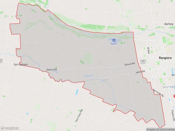
2009 people live in Fernside, Canterbury, NZFernside Suburb Area Map (Polygon)
Fernside Introduction
Fernside is a small rural community located in the Canterbury region of New Zealand, known for its picturesque countryside and historic buildings. It is situated on the banks of the Rangiora River, approximately 100 kilometers south of Christchurch. The area was first settled in the 1850s by German immigrants and has since developed into a thriving farming community with a strong sense of community. Fernside has a primary school, a post office, a general store, and a variety of recreational facilities, including a golf course and a sports club. The surrounding area is popular for hiking, cycling, and fishing, and the town is surrounded by stunning natural scenery, including the Southern Alps and the Rakaia Gorge.Region
Major City
Suburb Name
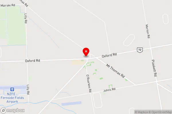
FernsideFernside Area Map (Street)
Local Authority
Waimakariri DistrictFull Address
Fernside, Waimakariri District, New ZealandAddress Type
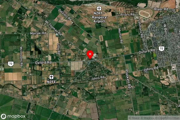
Suburb in Town RangioraFernside Suburb Map (Satellite)
Country
Main Region in AU
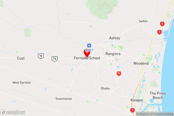
CanterburyFernside Region Map
Coordinates
-43.3107293,172.5345791 (latitude/longitude)Distances
The distance from Fernside, Rangiora, Waimakariri District to NZ Top 10 Cities