Ashley Suburbs & Region, Ashley Map & Postcodes in Ashley, Waimakariri, Canterbury
Ashley Postcodes, Ashley ZipCodes, Ashley , Ashley Canterbury, Ashley Suburbs, Ashley Region, Ashley Map, Ashley Area
Ashley Region
Ashley Suburbs
Ashley is a suburb place type in Waimakariri, Canterbury, NZ. It contains 0 suburbs or localities.Ashley district
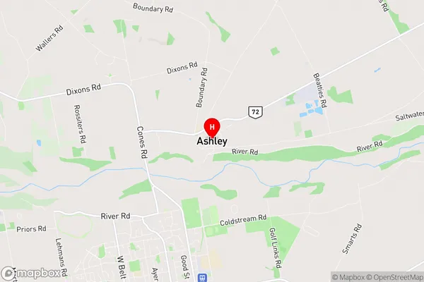
WaimakaririAshley Region Map
Ashley Introduction
Ashley is a small rural town in Canterbury, New Zealand, located in the Ashburton District. It is situated on the banks of the Ashley River, approximately 120 kilometers southeast of Christchurch. The town has a population of around 1,200 people and is known for its scenic surroundings, including the Ashley River and the surrounding hills. The town has a primary school, a post office, a supermarket, and a variety of recreational facilities, including a golf course and a sports complex. Ashley is also home to a number of historic buildings, including the Ashley Hotel, which was built in 1877.Ashley Region
Ashley City
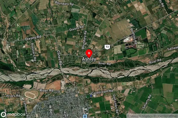
Ashley Satellite Map
Full Address
Ashley, Waimakariri, CanterburyAshley Coordinates
-43.276209,172.599836 (Latitude / Longitude)Ashley Map in NZ
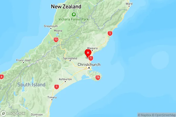
NZ Island
South IslandCountry
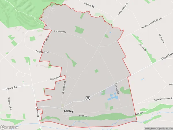
Ashley Area Map (Polygon)
Name
AshleyAdditional Name
Local Authority
Waimakariri District
Ashley Suburbs (Sort by Population)
Ashley suburb has around
21.1 square
kilometers.There are more than 976 people (estimated)
live in Ashley, Rangiora, Canterbury, New Zealand.