Ashley Area, Ashley Postcode(7400) & Map in Ashley
Ashley Area, Ashley Postcode(7400) & Map in Ashley, Waimakariri District, New Zealand
Ashley, Waimakariri District, New Zealand
Ashley Postcodes
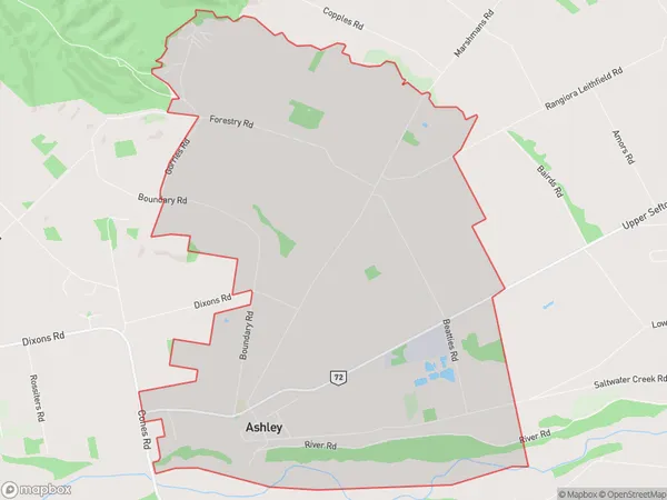
Ashley Area (estimated)
21.1 square kilometersAshley Population (estimated)
976 people live in Ashley, Canterbury, NZAshley Suburb Area Map (Polygon)
Ashley Introduction
Ashley is a small rural town in Canterbury, New Zealand, located on the banks of the Ashley River. It is known for its picturesque countryside, historic buildings, and friendly community. The town has a population of around 1,000 people and is a popular destination for tourists and outdoor enthusiasts.Region
Major City
Suburb Name
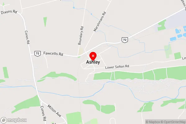
AshleyAshley Area Map (Street)
Local Authority
Waimakariri DistrictFull Address
Ashley, Waimakariri District, New ZealandAddress Type
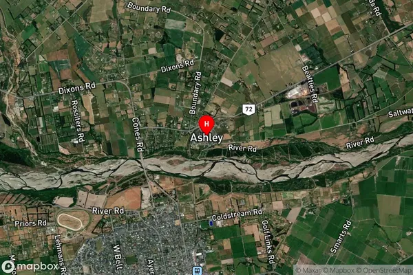
Locality in Town RangioraAshley Suburb Map (Satellite)
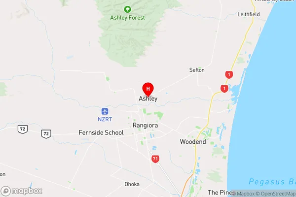
Country
Main Region in AU
CanterburyAshley Region Map
Coordinates
-43.2762095,172.5998358 (latitude/longitude)Distances
The distance from Ashley, Rangiora, Waimakariri District to NZ Top 10 Cities