Scargill Suburbs & Region, Scargill Map & Postcodes in Scargill, Hurunui, Canterbury
Scargill Postcodes, Scargill ZipCodes, Scargill , Scargill Canterbury, Scargill Suburbs, Scargill Region, Scargill Map, Scargill Area
Scargill Region (Scargill Valley Region)
Scargill Suburbs
Scargill is a suburb place type in Hurunui, Canterbury, NZ. It contains 0 suburbs or localities.Scargill district
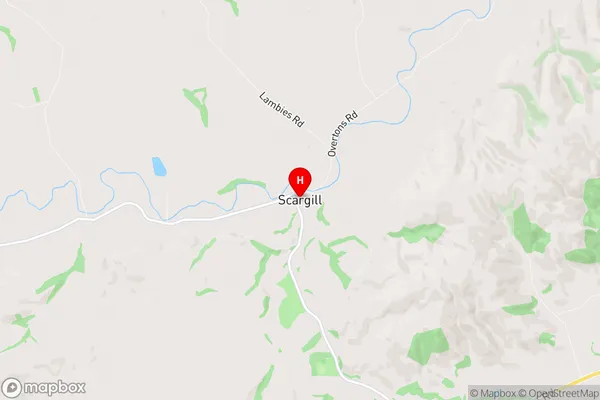
HurunuiScargill Region Map
Scargill Introduction
Scargill is a small rural town located in the Canterbury region of New Zealand. It is situated on the banks of the Rakaia River, approximately 100 kilometers south of Christchurch. The town has a population of around 1,000 people and is known for its scenic surroundings, including the Rakaia Gorge and the surrounding farmland. Scargill is also home to a number of historic buildings, including the Scargill Hotel, which was built in the 1880s. The town is a popular destination for outdoor enthusiasts, with a range of activities such as hiking, fishing, and hunting available in the surrounding area.Scargill Region
Scargill City
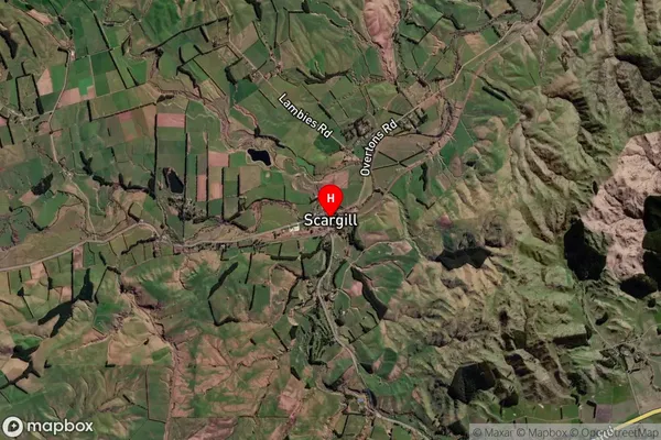
Scargill Satellite Map
Full Address
Scargill, Hurunui, CanterburyScargill Coordinates
-42.935156,172.948378 (Latitude / Longitude)Scargill Map in NZ
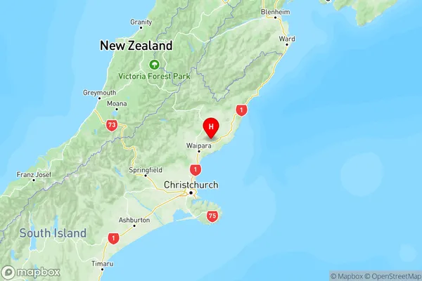
NZ Island
South IslandCountry
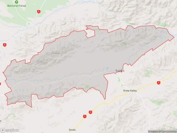
Scargill Area Map (Polygon)
Name
ScargillAdditional Name
Scargill ValleyLocal Authority
Hurunui District
Scargill Suburbs (Sort by Population)
Scargill also known as Scargill Valley. Scargill suburb has around
222.9 square
kilometers.There are more than 222 people (estimated)
live in Scargill, Amberley, Canterbury, New Zealand.