Scargill Area, Scargill Postcode & Map in Scargill
Scargill Area, Scargill Postcode & Map in Scargill, Hurunui District, New Zealand
Scargill, Hurunui District, New Zealand
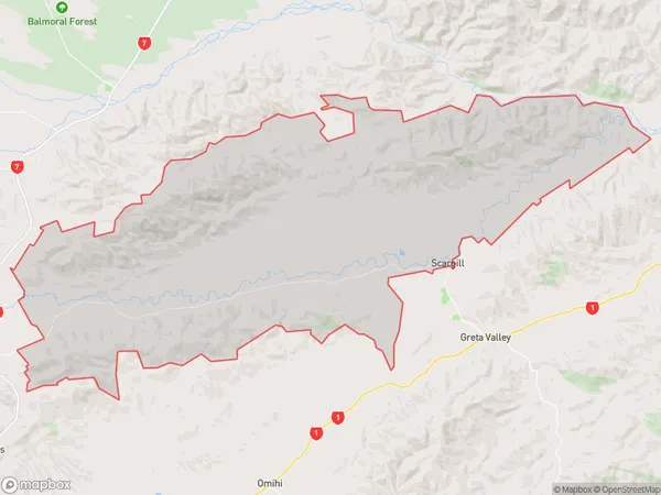
Scargill Area (estimated)
222.9 square kilometersScargill Population (estimated)
222 people live in Scargill, Canterbury, NZScargill Suburb Area Map (Polygon)
Scargill Introduction
Scargill is a small rural community in Waikari, Canterbury, New Zealand. It is located on the banks of the Waikari River, approximately 12 kilometers south of the town of Waikari and 25 kilometers north of Christchurch. The community has a population of around 100 people and is known for its scenic surroundings and agricultural heritage. The area was first settled by European settlers in the 1860s, and the Scargill School was established in 1878. The school is still in operation today and is a vital part of the community.Region
0Suburb Name
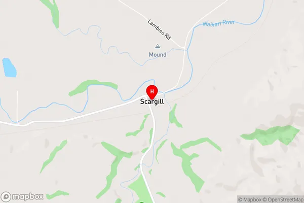
ScargillOther Name(s)
Scargill ValleyScargill Area Map (Street)
Local Authority
Hurunui DistrictFull Address
Scargill, Hurunui District, New ZealandAddress Type
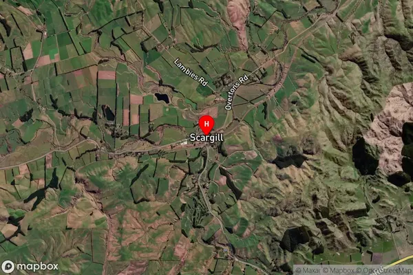
Locality in Major Locality WaikariScargill Suburb Map (Satellite)
Country
Main Region in AU
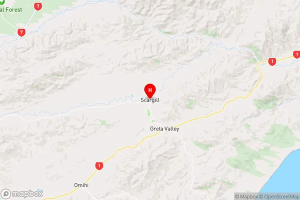
CanterburyScargill Region Map
Coordinates
-42.935156,172.9483781 (latitude/longitude)Distances
The distance from Scargill, Waikari, Hurunui District to NZ Top 10 Cities