Motunau Suburbs & Region, Motunau Map & Postcodes in Motunau, Hurunui, Canterbury
Motunau Postcodes, Motunau ZipCodes, Motunau , Motunau Canterbury, Motunau Suburbs, Motunau Region, Motunau Map, Motunau Area
Motunau Region (Blythe Valley, Motunau Beach Region)
Motunau Suburbs
Motunau is a suburb place type in Hurunui, Canterbury, NZ. It contains 0 suburbs or localities.Motunau district
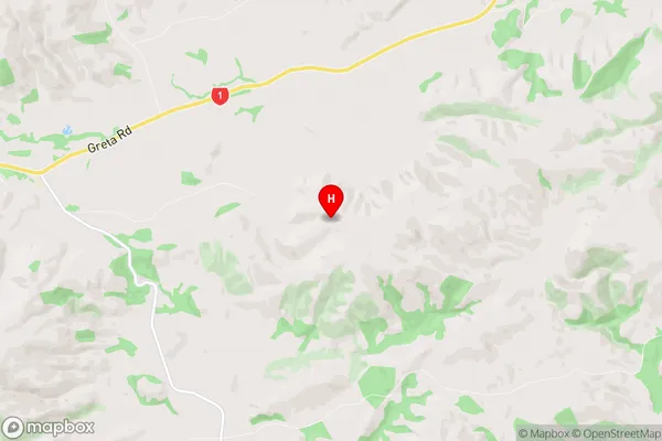
HurunuiMotunau Region Map
Motunau Introduction
Motunau is a small beach settlement on the Banks Peninsula of New Zealand's Canterbury region. It is located at the mouth of the Hurunui River and is known for its stunning natural beauty, including golden sand beaches, rugged cliffs, and crystal-clear waters. The area is popular with tourists and outdoor enthusiasts, who can enjoy activities such as hiking, fishing, kayaking, and birdwatching. Motunau also has a historic church and a small community center. The settlement is surrounded by farmland and native forest, and the nearby Hurunui National Park offers a range of outdoor activities and scenic walks.Motunau Region
Motunau City
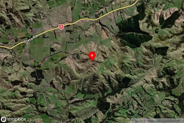
Motunau Satellite Map
Full Address
Motunau, Hurunui, CanterburyMotunau Coordinates
-42.969693,173.023211 (Latitude / Longitude)Motunau Map in NZ
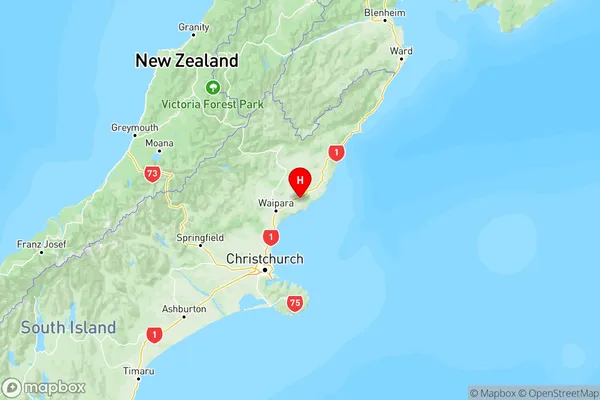
NZ Island
South IslandCountry
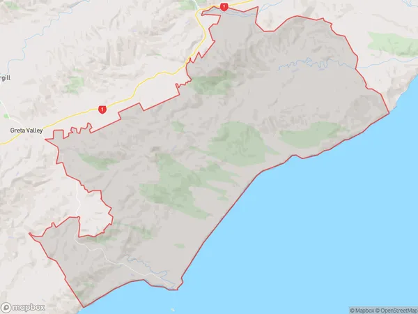
Motunau Area Map (Polygon)
Name
MotunauAdditional Name
Blythe Valley, Motunau BeachLocal Authority
Hurunui District
Motunau Suburbs (Sort by Population)
Motunau also known as Blythe Valley, Motunau Beach. Motunau suburb has around
215.1 square
kilometers.There are more than 181 people (estimated)
live in Motunau, Amberley, Canterbury, New Zealand.