Lewis Pass Suburbs & Region, Lewis Pass Map & Postcodes in Lewis Pass, Hurunui, Canterbury
Lewis Pass Postcodes, Lewis Pass ZipCodes, Lewis Pass , Lewis Pass Canterbury, Lewis Pass Suburbs, Lewis Pass Region, Lewis Pass Map, Lewis Pass Area
Lewis Pass Region (Boyle Village, Maruia Springs Region)
Lewis Pass Suburbs
Lewis Pass is a suburb place type in Hurunui, Canterbury, NZ. It contains 0 suburbs or localities.Lewis Pass district
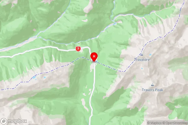
HurunuiLewis Pass Region Map
Lewis Pass Introduction
Lewis Pass is a mountain pass in the Southern Alps of New Zealand, located between the West Coast and Canterbury Plains. It is part of the New Zealand Southern Alps Route, a popular hiking and skiing trail. The pass is named after Captain James Lewis, who was the first European to sight the pass in 1770. The pass is approximately 1,200 meters above sea level and offers stunning views of the surrounding mountains, valleys, and glaciers. It is also a popular filming location for movies and TV shows, including The Lord of the Rings trilogy.Lewis Pass Region
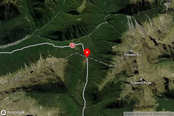
Lewis Pass Satellite Map
Full Address
Lewis Pass, Hurunui, CanterburyLewis Pass Coordinates
-42.3800291,172.4001724 (Latitude / Longitude)Lewis Pass Map in NZ
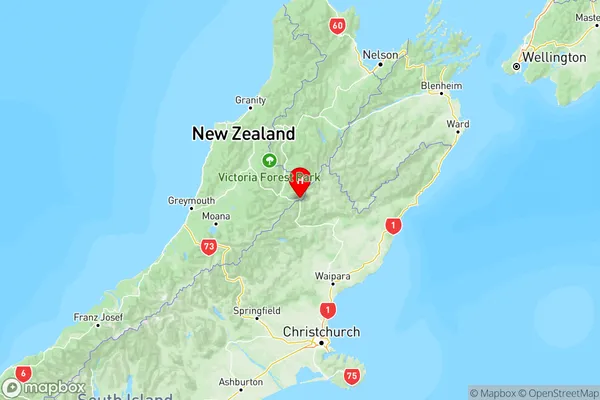
NZ Island
South IslandCountry
Lewis Pass Area Map (Polygon)
Not available for nowName
Lewis PassAdditional Name
Boyle Village, Maruia SpringsLocal Authority
Buller District, Hurunui District
Lewis Pass Suburbs (Sort by Population)
Lewis Pass also known as Boyle Village, Maruia Springs. Lewis Pass suburb has around
-1.2 square
kilometers.There are more than 21 people (estimated)
live in Lewis Pass, , West Coast, New Zealand.