Lewis Pass Area, Lewis Pass Postcode(7862) & Map in Lewis Pass, Buller District
Lewis Pass Area, Lewis Pass Postcode(7862) & Map in Lewis Pass, Buller District, Hurunui District, New Zealand
Lewis Pass, Buller District, Hurunui District, New Zealand
Lewis Pass Postcodes
Lewis Pass Area (estimated)
-1.2 square kilometersLewis Pass Population (estimated)
21 people live in Lewis Pass, West Coast, NZLewis Pass Suburb Area Map (Polygon)
Not available for nowLewis Pass Introduction
Lewis Pass is a mountain pass on the West Coast of New Zealand's South Island, located between the Grey and Westland districts. It is named after Captain James Lewis, who explored the region in 1770. The pass is a popular tourist destination and is known for its stunning scenic views.Region
Major City
Suburb Name
Lewis PassOther Name(s)
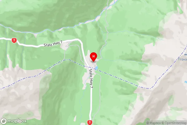
Boyle Village, Maruia SpringsLewis Pass Area Map (Street)
Local Authority
Buller District, Hurunui DistrictFull Address
Lewis Pass, Buller District, Hurunui District, New ZealandAddress Type
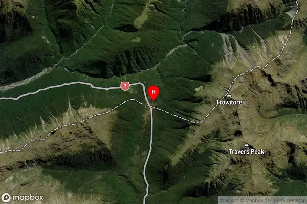
Locality in Town ReeftonLewis Pass Suburb Map (Satellite)
Country
Main Region in AU
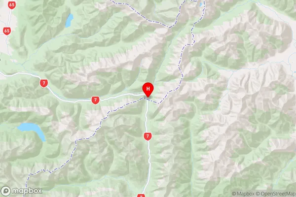
West CoastLewis Pass Region Map
Coordinates
-42.3784958,172.4010257 (latitude/longitude)Distances
The distance from Lewis Pass, Reefton, Buller District, Hurunui District to NZ Top 10 Cities