Leithfield Suburbs & Region, Leithfield Map & Postcodes in Leithfield, Hurunui, Canterbury
Leithfield Postcodes, Leithfield ZipCodes, Leithfield , Leithfield Canterbury, Leithfield Suburbs, Leithfield Region, Leithfield Map, Leithfield Area
Leithfield Region (Leithfield Beach Region)
Leithfield Suburbs
Leithfield is a suburb place type in Hurunui, Canterbury, NZ. It contains 1 suburbs or localities.Leithfield Postcodes
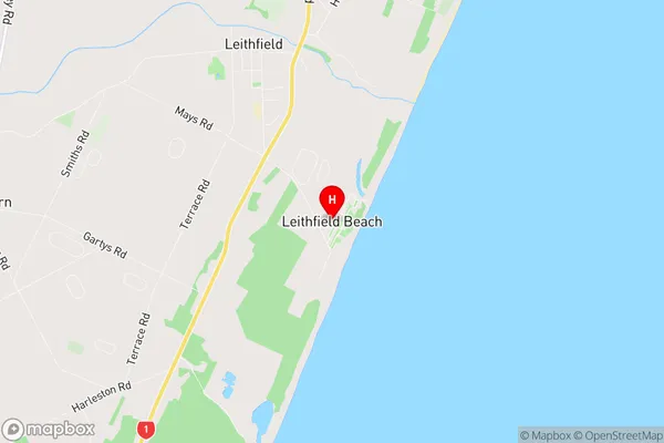
Leithfield district
HurunuiLeithfield Region Map
Leithfield Introduction
Leithfield is a small town in Canterbury, New Zealand, located on the banks of the Waimakariri River. It is known for its historic stone buildings, including the Leithfield Station, which is listed as a "Historic Place" by the Heritage New Zealand. The town has a population of around 3,000 people and is a popular destination for tourists who enjoy the surrounding countryside and the local wine industry. Leithfield also has a primary school, a supermarket, and a variety of shops and cafes.Leithfield Region
Leithfield City
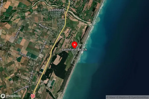
Leithfield Satellite Map
Full Address
Leithfield, Hurunui, CanterburyLeithfield Coordinates
-43.210757,172.752012 (Latitude / Longitude)Leithfield Map in NZ
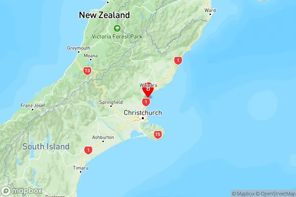
NZ Island
South IslandCountry
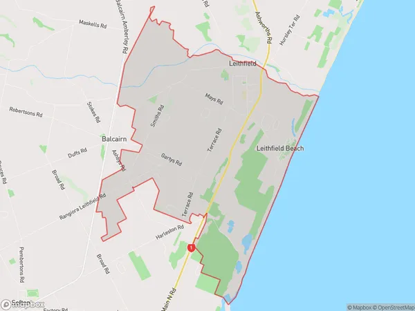
Leithfield Area Map (Polygon)
Name
LeithfieldAdditional Name
Leithfield BeachLocal Authority
Hurunui District
Leithfield Suburbs (Sort by Population)
Leithfield
Leithfield - 1237