Leithfield Area, Leithfield Postcode(7481) & Map in Leithfield
Leithfield Area, Leithfield Postcode(7481) & Map in Leithfield, Hurunui District, New Zealand
Leithfield, Hurunui District, New Zealand
Leithfield Area (estimated)
26.0 square kilometersLeithfield Population (estimated)
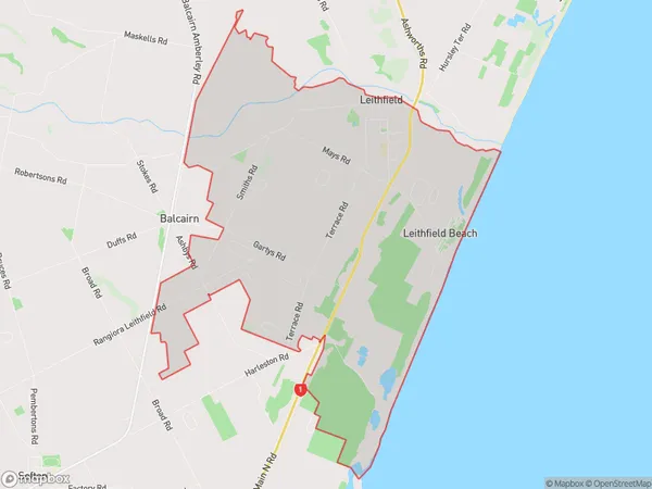
1237 people live in Leithfield, Canterbury, NZLeithfield Suburb Area Map (Polygon)
Leithfield Introduction
Leithfield is a small town in Canterbury, New Zealand, located on the banks of the Waimakariri River. It is known for its historic buildings, including the Leithfield Station, which is listed as a "Category I" historic place by the Heritage New Zealand. The town has a population of around 3,000 people and is a popular destination for tourists and locals alike, with a variety of shops, cafes, and restaurants.Region
Major City
Suburb Name
LeithfieldOther Name(s)
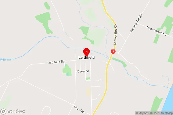
Leithfield BeachLeithfield Area Map (Street)
Local Authority
Hurunui DistrictFull Address
Leithfield, Hurunui District, New ZealandAddress Type
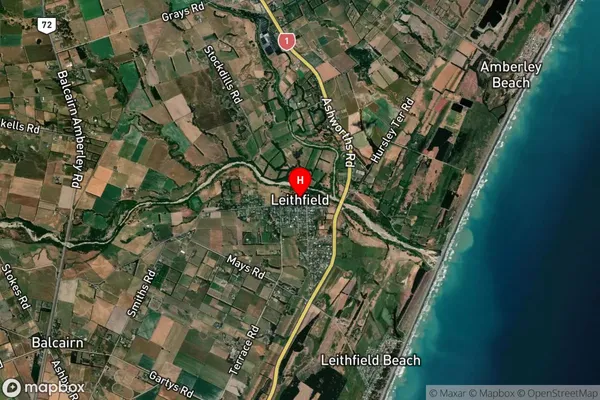
Locality in Town LeithfieldLeithfield Suburb Map (Satellite)
Country
Main Region in AU
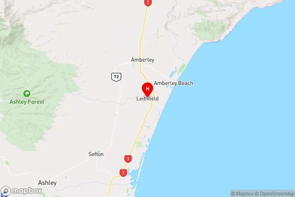
CanterburyLeithfield Region Map
Coordinates
-43.1907092,172.7398891 (latitude/longitude)Distances
The distance from Leithfield, Leithfield, Hurunui District to NZ Top 10 Cities