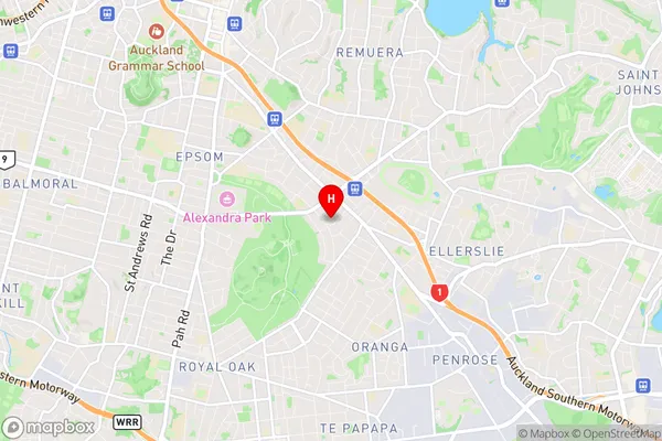
Greenlane Suburbs & Region, Greenlane Map & Postcodes in Greenlane, Auckland Central, Auckland, North Island, New Zealand
Greenlane Postcodes, Greenlane ZipCodes, Greenlane , Greenlane Auckland, Greenlane Suburbs, Greenlane Region, Greenlane Map, Greenlane Area
Greenlane Region
Greenlane Suburbs
Greenlane is a suburb place type in Auckland Central, Auckland, North Island, New Zealand, NZ. It contains 0 suburbs or localities.Greenlane district
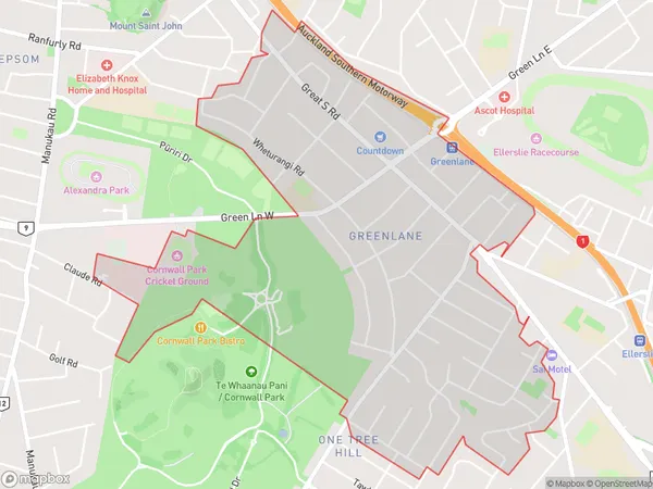
Auckland CentralGreenlane Region Map

Greenlane Introduction
Greenlane is a suburb of Auckland, New Zealand, located in the eastern part of the city. It is known for its high-density residential housing and commercial areas, with many shops, restaurants, and medical facilities. The suburb is also home to the Greenlane Clinical Centre, a major medical facility that provides healthcare services to the local community. Greenlane is well-connected to other parts of Auckland via public transport, with several bus routes and the Greenlane Train Station located within the suburb. The area is popular with young professionals and families due to its convenient location, affordable housing, and proximity to recreational facilities such as parks and sports fields.Greenlane Region
Greenlane City
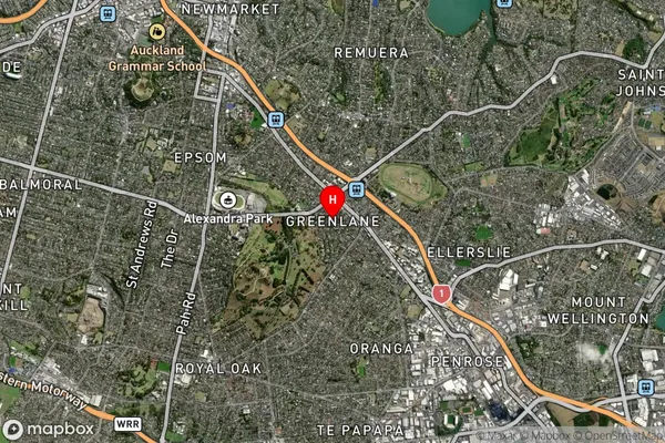
Greenlane Satellite Map

Full Address
Greenlane, Auckland Central, Auckland, North Island, New ZealandGreenlane Coordinates
-36.893759,174.793962 (Latitude / Longitude)Greenlane Map in NZ

NZ Island
North IslandCountry
Greenlane Area Map (Polygon)

Name
GreenlaneAdditional Name
Local Authority
Auckland
Greenlane Suburbs (Sort by Population)
Greenlane suburb has around
3.0 square
kilometers.There are more than 7453 people (estimated)
live in Greenlane, Albert-Eden, Auckland, New Zealand.