Greenlane Area, Greenlane Postcode(1040) & Map in Greenlane
Greenlane Area, Greenlane Postcode(1040) & Map in Greenlane, Auckland, New Zealand
Greenlane, Auckland, New Zealand
Greenlane Area (estimated)
3.0 square kilometersGreenlane Population (estimated)
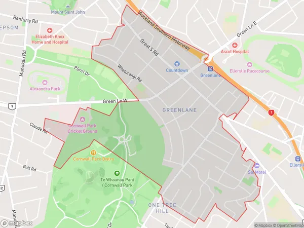
7453 people live in Greenlane, Albert-Eden, NZGreenlane Suburb Area Map (Polygon)
Greenlane Introduction
Greenlane is a suburb in Auckland, New Zealand, located in the southern part of the city. It is known for its large population of Asian immigrants and for its vibrant retail and restaurant scene. The suburb has a number of parks and recreational facilities, including Greenlane Park and the Greenlane Shopping Centre. It is also home to a number of medical and dental clinics.Region
Major City
Suburb Name
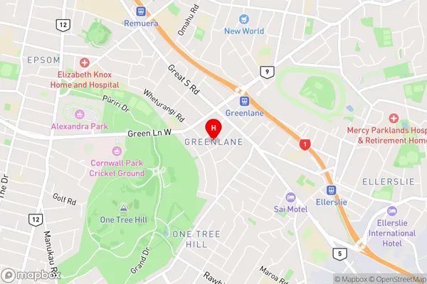
GreenlaneGreenlane Area Map (Street)
Local Authority
AucklandFull Address
Greenlane, Auckland, New ZealandAddress Type
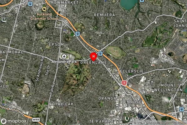
Suburb in City AucklandGreenlane Suburb Map (Satellite)
Country
Main Region in AU
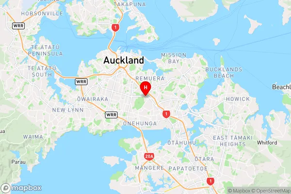
AucklandGreenlane Region Map
Coordinates
-36.893759,174.7939619 (latitude/longitude)Distances
The distance from Greenlane, Auckland, Auckland to NZ Top 10 Cities