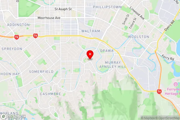
Saint Martins Suburbs & Region, Saint Martins Map & Postcodes in Saint Martins, Christchurch City, Canterbury
Saint Martins Postcodes, Saint Martins ZipCodes, Saint Martins , Saint Martins Canterbury, Saint Martins Suburbs, Saint Martins Region, Saint Martins Map, Saint Martins Area
Saint Martins Region (St Martins Region)
Saint Martins Suburbs
Saint Martins is a suburb place type in Christchurch City, Canterbury, NZ. It contains 0 suburbs or localities.Saint Martins Region Map

Saint Martins Introduction
Saint Martins is a suburb of Christchurch, New Zealand. It is located in the eastern suburbs of the city, between the Avon River and the Port Hills. The suburb is named after Saint Martin of Tours, a French saint who is believed to have visited New Zealand in the 12th century. Saint Martins is a popular residential area with a mix of modern homes and older character properties. The suburb has a variety of shops, cafes, and restaurants, as well as a community center and a library. The area is also home to a number of parks and recreational facilities, including the Saint Martins Reserve and the Saint Martins Golf Club. Saint Martins is well-connected to the rest of Christchurch, with easy access to the city center via the State Highway 1 and the Christchurch Central City. The suburb is also served by a number of bus routes, making it easy for residents to get around without a car.Saint Martins Region
Saint Martins City
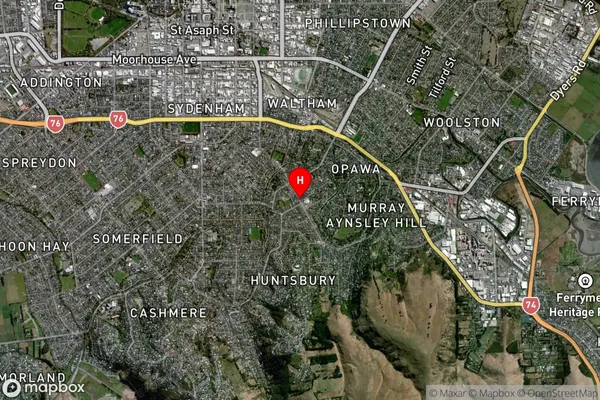
Saint Martins Satellite Map

Full Address
Saint Martins, Christchurch City, CanterburySaint Martins Coordinates
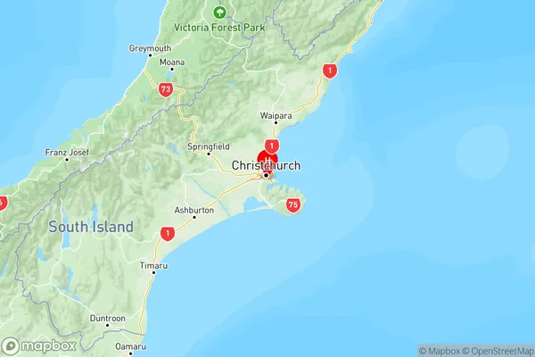
-43.557534,172.653632 (Latitude / Longitude)Saint Martins Map in NZ

NZ Island
South IslandCountry
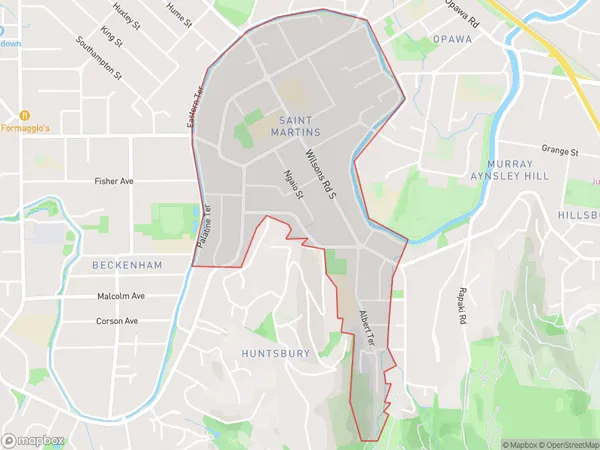
Saint Martins Area Map (Polygon)

Name
Saint MartinsAdditional Name
St MartinsLocal Authority
Christchurch City
Saint Martins Suburbs (Sort by Population)
Saint Martins also known as St Martins. Saint Martins suburb has around
1.4 square
kilometers.There are more than 2898 people (estimated)
live in Saint Martins, Spreydon-Cashmere Community, Canterbury, New Zealand.