Saint Martins Area, Saint Martins Postcode(8023) & Map in Saint Martins
Saint Martins Area, Saint Martins Postcode(8023) & Map in Saint Martins, Christchurch City, New Zealand
Saint Martins, Christchurch City, New Zealand
Saint Martins Postcodes
Saint Martins Area (estimated)
1.4 square kilometersSaint Martins Population (estimated)
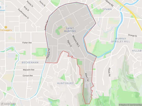
2898 people live in Saint Martins, Spreydon-Cashmere Community, NZSaint Martins Suburb Area Map (Polygon)
Saint Martins Introduction
Saint Martins is a suburb in Christchurch, New Zealand, located in the eastern suburbs of the city. It is known for its vibrant community, picturesque parks, and convenient location, with easy access to the city center and the surrounding areas. The suburb has a mix of residential properties, including apartments, houses, and townhouses, and is home to a diverse population.Region
Major City
Suburb Name
Saint MartinsOther Name(s)
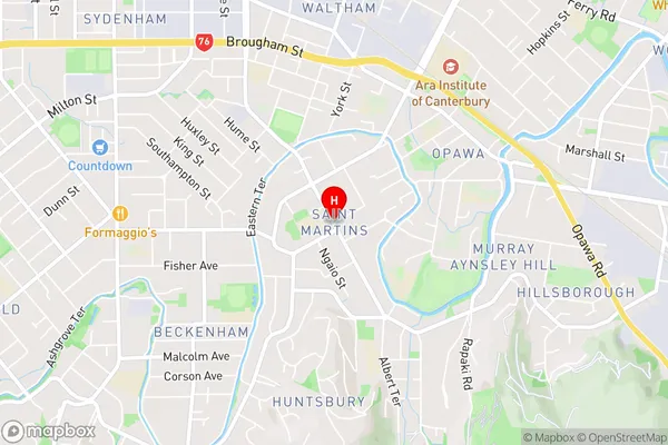
St MartinsSaint Martins Area Map (Street)
Local Authority
Christchurch CityFull Address
Saint Martins, Christchurch City, New ZealandAddress Type
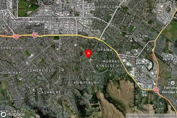
Suburb in City ChristchurchSaint Martins Suburb Map (Satellite)
Country
Main Region in AU
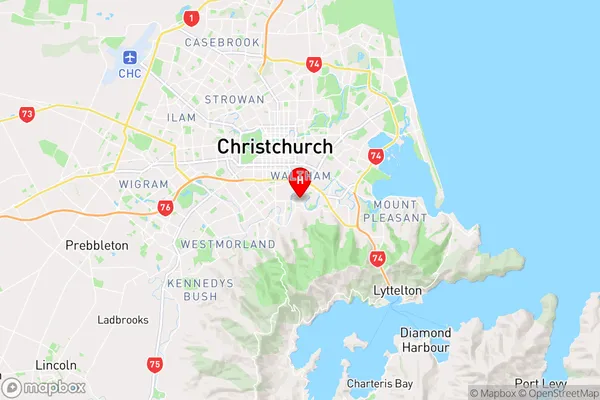
CanterburySaint Martins Region Map
Coordinates
-43.5575336,172.653632 (latitude/longitude)Distances
The distance from Saint Martins, Christchurch, Christchurch City to NZ Top 10 Cities