Saint Albans Suburbs & Region, Saint Albans Map & Postcodes in Saint Albans, Christchurch Central, Christchurch, Canterbury, South Island, New Zealand
Saint Albans Postcodes, Saint Albans ZipCodes, Saint Albans , Saint Albans Canterbury, Saint Albans Suburbs, Saint Albans Region, Saint Albans Map, Saint Albans Area
Saint Albans Region (Saint Albans Region)
Saint Albans Suburbs
Saint Albans is a suburb place type in Christchurch Central, Christchurch, Canterbury, South Island, New Zealand, NZ. It contains 0 suburbs or localities.Saint Albans district
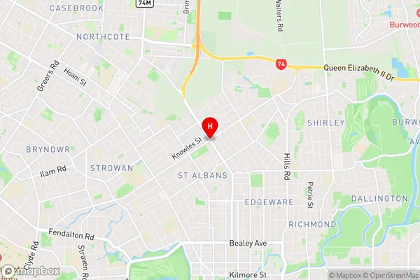
Christchurch CentralSaint Albans Region Map

Saint Albans Introduction
Saint Albans is a suburb of Christchurch, New Zealand. It is located in the City of Christchurch's Eastern Bays ward, and is situated to the east of the central business district. The suburb was named after Saint Albans, Hertfordshire, England. The Saint Albans railway station is located on the Main South Line, and the suburb is served by several bus routes. The area has a variety of shops, restaurants, and recreational facilities, including the Saint Albans Park and Recreation Centre.Saint Albans Region
Saint Albans City
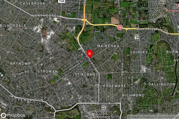
Saint Albans Satellite Map

Full Address
Saint Albans, Christchurch Central, Christchurch, Canterbury, South Island, New ZealandSaint Albans Coordinates
-43.5026053,172.632747 (Latitude / Longitude)Saint Albans Map in NZ

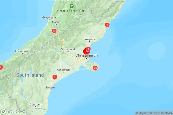
NZ Island
South IslandCountry
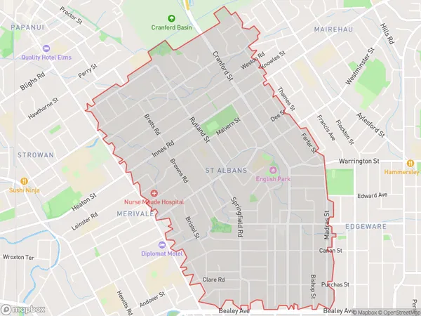
Saint Albans Area Map (Polygon)

Name
St AlbansAdditional Name
Saint AlbansLocal Authority
Christchurch City
Saint Albans Suburbs (Sort by Population)
St Albans also known as Saint Albans. St Albans suburb has around
4.8 square
kilometers.There are more than 13842 people (estimated)
live in St Albans, Christchurch, Canterbury, New Zealand.