St Albans Area, St Albans Postcode(8014) & Map in St Albans
St Albans Area, St Albans Postcode(8014) & Map in St Albans, Christchurch City, New Zealand
St Albans, Christchurch City, New Zealand
St Albans Area (estimated)
4.8 square kilometersSt Albans Population (estimated)
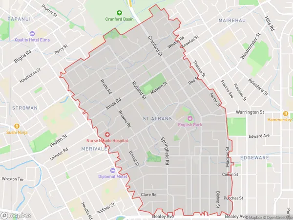
13842 people live in St Albans, Christchurch, NZSt Albans Suburb Area Map (Polygon)
St Albans Introduction
St Albans is a suburb of Christchurch, New Zealand. It is located in the city's eastern suburbs, 7 km from the central business district. The suburb has a population of around 30,000 people and is known for its diverse community and historic buildings. St Albans was established in the 1850s and was named after the English city of St Albans. It was developed as a residential area for Christchurch's growing middle class. The suburb has a variety of shops, restaurants, and recreational facilities, including a swimming pool, library, and sports park.Region
Major City
Suburb Name
St AlbansOther Name(s)
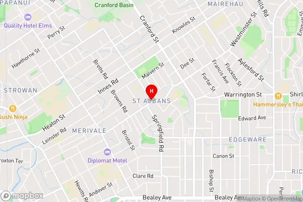
Saint AlbansSt Albans Area Map (Street)
Local Authority
Christchurch CityFull Address
St Albans, Christchurch City, New ZealandAddress Type
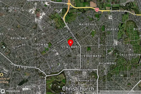
Suburb in City ChristchurchSt Albans Suburb Map (Satellite)
Country
Main Region in AU
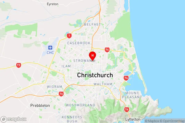
CanterburySt Albans Region Map
Coordinates
-43.5089104,172.6308895 (latitude/longitude)Distances
The distance from St Albans, Christchurch, Christchurch City to NZ Top 10 Cities