Kennedys Bush Suburbs & Region, Kennedys Bush Map & Postcodes in Kennedys Bush, Christchurch City, Canterbury
Kennedys Bush Postcodes, Kennedys Bush ZipCodes, Kennedys Bush , Kennedys Bush Canterbury, Kennedys Bush Suburbs, Kennedys Bush Region, Kennedys Bush Map, Kennedys Bush Area
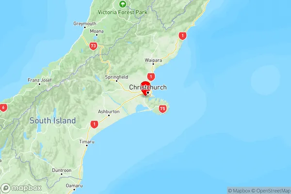
Kennedys Bush Region
Kennedys Bush Suburbs
Kennedys Bush is a suburb place type in Christchurch City, Canterbury, NZ. It contains 0 suburbs or localities.Kennedys Bush Postcodes
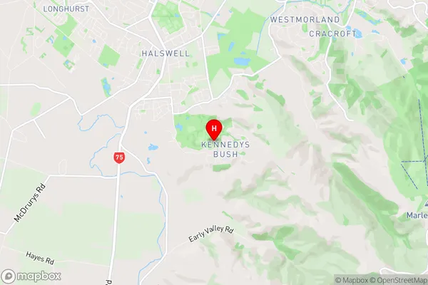
Kennedys Bush Region Map

Kennedys Bush Introduction
Kennedys Bush is a 10.6-hectare urban forest in Christchurch, New Zealand, located between the Avon River and the St. George's Arcade. It is named after John Kennedy, the first Prime Minister of New Zealand, and was established in 1963. The bush is home to a diverse range of plant and animal species, including native trees, shrubs, and birds. It is also a popular recreational spot for locals and visitors, with walking and cycling tracks, a playground, and a picnic area. The bush was significantly damaged in the 2011 Christchurch earthquake, but has since been regenerated and is an important part of the city's recovery efforts.Kennedys Bush Region
Kennedys Bush City
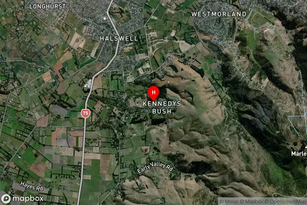
Kennedys Bush Satellite Map

Full Address
Kennedys Bush, Christchurch City, CanterburyKennedys Bush Coordinates
-43.601089,172.582261 (Latitude / Longitude)Kennedys Bush Map in NZ

NZ Island
South IslandCountry
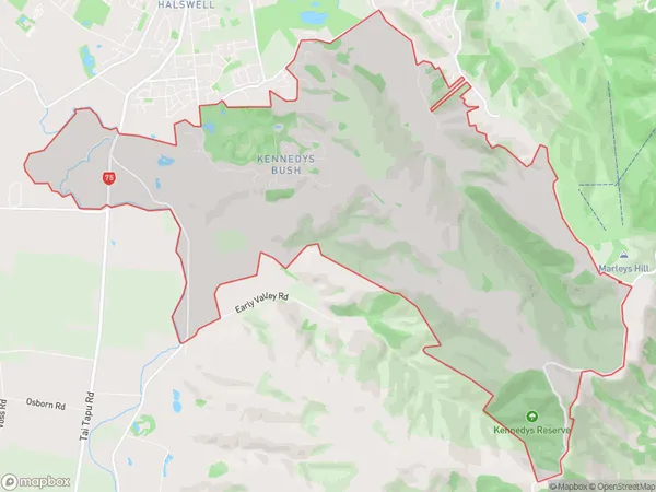
Kennedys Bush Area Map (Polygon)

Name
Kennedys BushAdditional Name
Local Authority
Christchurch City, Selwyn District
Kennedys Bush Suburbs (Sort by Population)
Kennedys Bush suburb has around
17.9 square
kilometers.There are more than 609 people (estimated)
live in Kennedys Bush, Halswell-Hornby-Riccarton Community, Canterbury, New Zealand.