Kennedys Bush Area, Kennedys Bush Postcode(8025) & Map in Kennedys Bush, Christchurch City
Kennedys Bush Area, Kennedys Bush Postcode(8025) & Map in Kennedys Bush, Christchurch City, Selwyn District, New Zealand
Kennedys Bush, Christchurch City, Selwyn District, New Zealand
Kennedys Bush Postcodes
Kennedys Bush Area (estimated)
17.9 square kilometersKennedys Bush Population (estimated)
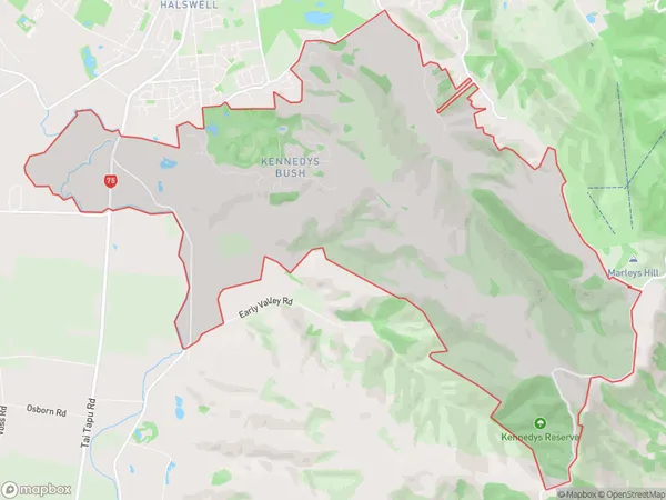
609 people live in Kennedys Bush, Halswell-Hornby-Riccarton Community, NZKennedys Bush Suburb Area Map (Polygon)
Kennedys Bush Introduction
Kennedys Bush is a large forest located in Christchurch, Canterbury, New Zealand. It is home to a variety of plant and animal species, including the endangered kiwi bird. The bush was named after the Kennedy family, who owned the land in the 19th century. Today, it is a popular recreational spot for locals and tourists alike, with many walking and hiking trails.Region
Major City
Suburb Name
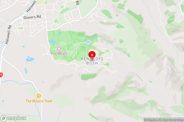
Kennedys BushKennedys Bush Area Map (Street)
Local Authority
Christchurch City, Selwyn DistrictFull Address
Kennedys Bush, Christchurch City, Selwyn District, New ZealandAddress Type
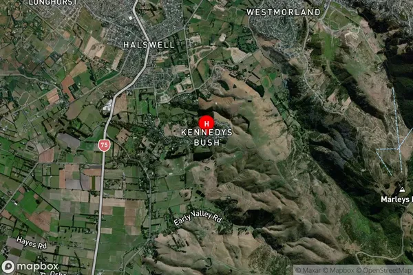
Suburb in City ChristchurchKennedys Bush Suburb Map (Satellite)
Country
Main Region in AU
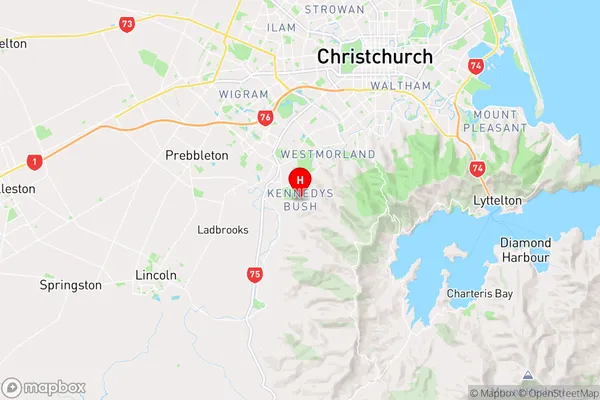
CanterburyKennedys Bush Region Map
Coordinates
-43.6023147,172.5849834 (latitude/longitude)Distances
The distance from Kennedys Bush, Christchurch, Christchurch City, Selwyn District to NZ Top 10 Cities