Hillmorton Suburbs & Region, Hillmorton Map & Postcodes in Hillmorton, Christchurch City, Canterbury
Hillmorton Postcodes, Hillmorton ZipCodes, Hillmorton , Hillmorton Canterbury, Hillmorton Suburbs, Hillmorton Region, Hillmorton Map, Hillmorton Area
Hillmorton Region (Linden Grove Region)
Hillmorton Suburbs
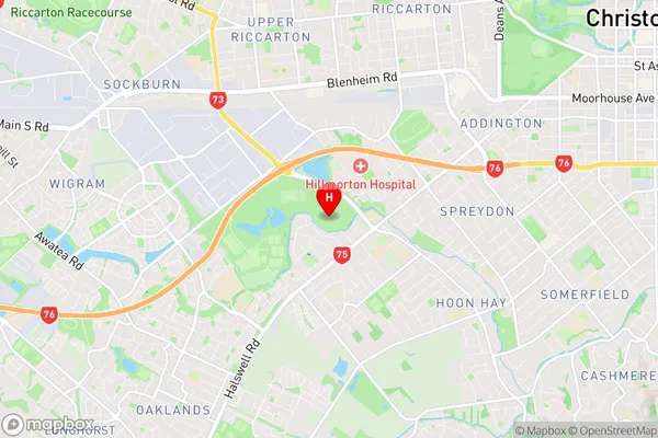
Hillmorton is a suburb place type in Christchurch City, Canterbury, NZ. It contains 0 suburbs or localities.Hillmorton Region Map
Hillmorton Introduction
Hillmorton is a suburb of Christchurch, New Zealand, located in the city's western suburbs. It is known for its historic buildings, including the Hillmorton Hospital and the Old St Paul's Church. The suburb has a mix of residential and commercial properties and is popular with families and young professionals. It is also home to a number of parks and recreational facilities, including the Hillmorton Golf Club and the Hillmorton Reserve.Hillmorton Region
Hillmorton City
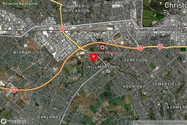
Hillmorton Satellite Map
Full Address
Hillmorton, Christchurch City, CanterburyHillmorton Coordinates
-43.553776,172.585676 (Latitude / Longitude)Hillmorton Map in NZ
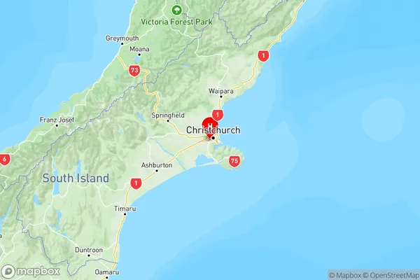
NZ Island
South IslandCountry
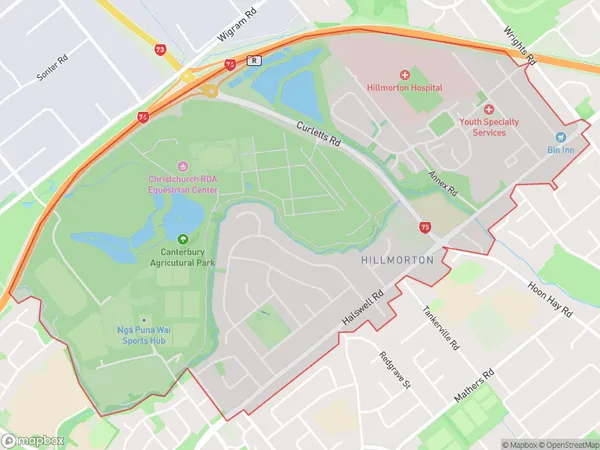
Hillmorton Area Map (Polygon)
Name
HillmortonAdditional Name
Linden GroveLocal Authority
Christchurch City
Hillmorton Suburbs (Sort by Population)
Hillmorton also known as Linden Grove. Hillmorton suburb has around
3.6 square
kilometers.There are more than 3104 people (estimated)
live in Hillmorton, Spreydon-Cashmere Community, Canterbury, New Zealand.