Hillmorton Area, Hillmorton Postcode(8011) & Map in Hillmorton
Hillmorton Area, Hillmorton Postcode(8011) & Map in Hillmorton, Christchurch City, New Zealand
Hillmorton, Christchurch City, New Zealand
Hillmorton Postcodes
Hillmorton Area (estimated)
3.6 square kilometersHillmorton Population (estimated)
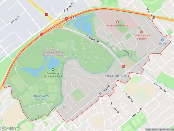
3104 people live in Hillmorton, Spreydon-Cashmere Community, NZHillmorton Suburb Area Map (Polygon)
Hillmorton Introduction
Hillmorton is a suburb of Christchurch, New Zealand, located in the city's west. It is known for its historic homes and gardens, and the Hillmorton Hospital, a major medical facility in the region. The suburb has a strong community spirit and is popular with families and young professionals.Region
Major City
Suburb Name
HillmortonOther Name(s)
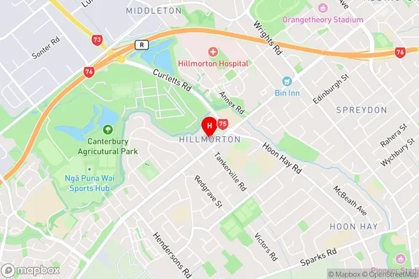
Linden GroveHillmorton Area Map (Street)
Local Authority
Christchurch CityFull Address
Hillmorton, Christchurch City, New ZealandAddress Type
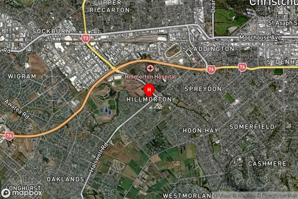
Suburb in City ChristchurchHillmorton Suburb Map (Satellite)
Country
Main Region in AU
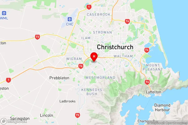
CanterburyHillmorton Region Map
Coordinates
-43.5555634,172.5901785 (latitude/longitude)Distances
The distance from Hillmorton, Christchurch, Christchurch City to NZ Top 10 Cities