Okains Bay Suburbs & Region, Okains Bay Map & Postcodes in Okains Bay, Banks Peninsula, Canterbury
Okains Bay Postcodes, Okains Bay ZipCodes, Okains Bay , Okains Bay Canterbury, Okains Bay Suburbs, Okains Bay Region, Okains Bay Map, Okains Bay Area
Okains Bay Region
Okains Bay Suburbs
Okains Bay is a suburb place type in Banks Peninsula, Canterbury, NZ. It contains 1 suburbs or localities.Okains Bay Postcodes
Okains Bay district
Banks PeninsulaOkains Bay Introduction
Located in the Canterbury region of New Zealand, Okains Bay is a popular beach destination known for its stunning natural beauty, clear waters, and peaceful atmosphere. It is situated on the eastern coast of the South Island and is part of the Hurunui District. The bay is surrounded by picturesque coastal hills and offers a range of activities such as swimming, surfing, fishing, and hiking. It is also a popular spot for birdwatching, with several species of native birds found in the area. The bay has a small settlement with a few cafes and restaurants, providing visitors with a place to relax and enjoy the surrounding scenery.Okains Bay Region
Okains Bay City
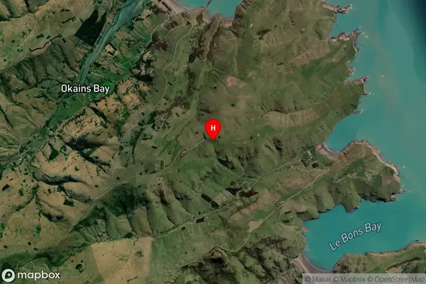
Okains Bay Satellite Map

Full Address
Okains Bay, Banks Peninsula, CanterburyOkains Bay Coordinates
-43.719036,173.073337 (Latitude / Longitude)Okains Bay Map in NZ

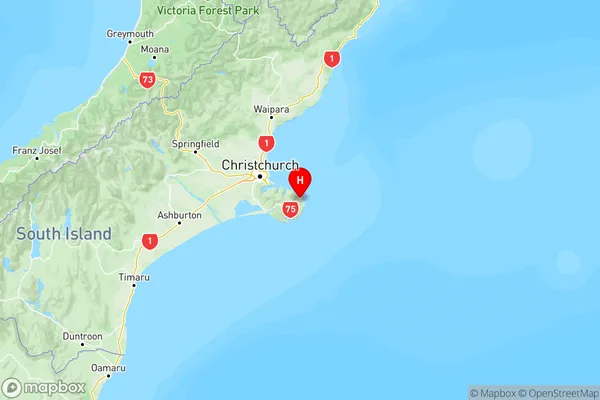
NZ Island
South IslandCountry
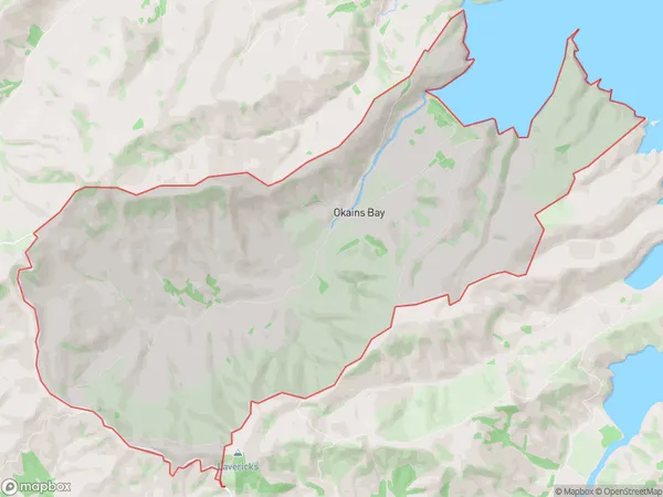
Okains Bay Area Map (Polygon)

Name
Okains BayAdditional Name
Local Authority
Christchurch City
Okains Bay Suburbs (Sort by Population)
Okains Bay
Okains Bay - 75
