Okains Bay Area, Okains Bay Postcode(7583) & Map in Okains Bay
Okains Bay Area, Okains Bay Postcode(7583) & Map in Okains Bay, Christchurch City, New Zealand
Okains Bay, Christchurch City, New Zealand
Okains Bay Postcodes
Okains Bay Area (estimated)
42.4 square kilometersOkains Bay Population (estimated)
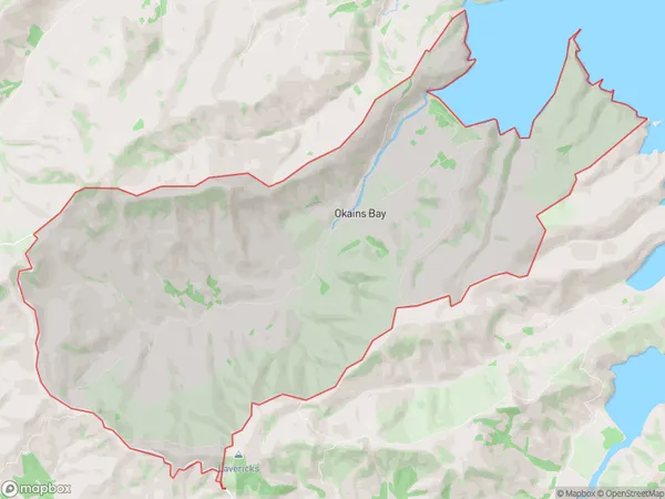
75 people live in Okains Bay, Banks Peninsula Community, NZOkains Bay Suburb Area Map (Polygon)
Okains Bay Introduction
Located in the Canterbury region of New Zealand, Okains Bay is a popular beach known for its stunning turquoise waters, white sand, and picturesque surroundings. It is a popular spot for swimming, surfing, and fishing, and has a range of accommodation options, including campsites and holiday homes. The bay is also home to a small community of residents who enjoy the peaceful and relaxed lifestyle that the area offers.Region
Major City
Suburb Name
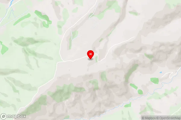
Okains BayOkains Bay Area Map (Street)
Local Authority
Christchurch CityFull Address
Okains Bay, Christchurch City, New ZealandAddress Type
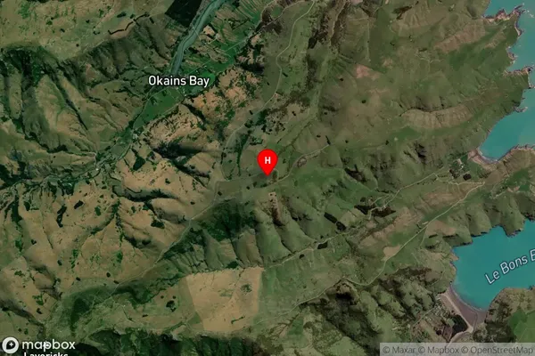
Locality in Major Locality Okains BayOkains Bay Suburb Map (Satellite)
Country
Main Region in AU
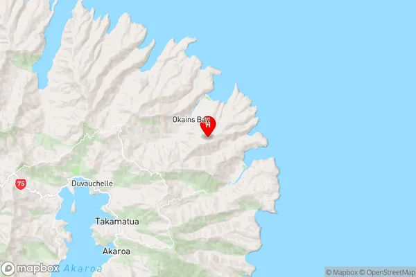
CanterburyOkains Bay Region Map
Coordinates
-43.72325,173.05951 (latitude/longitude)Distances
The distance from Okains Bay, Okains Bay, Christchurch City to NZ Top 10 Cities