Little Akaloa Suburbs & Region, Little Akaloa Map & Postcodes in Little Akaloa, Banks Peninsula, Canterbury
Little Akaloa Postcodes, Little Akaloa ZipCodes, Little Akaloa , Little Akaloa Canterbury, Little Akaloa Suburbs, Little Akaloa Region, Little Akaloa Map, Little Akaloa Area
Little Akaloa Region (Chorlton Region)
Little Akaloa Suburbs
Little Akaloa is a suburb place type in Banks Peninsula, Canterbury, NZ. It contains 1 suburbs or localities.Little Akaloa Postcodes
Little Akaloa district
Banks PeninsulaLittle Akaloa Region Map
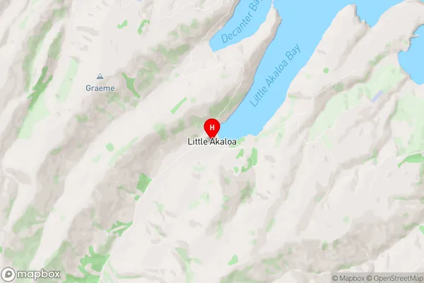
Little Akaloa Introduction
Little Akaloa is a small rural community in the Canterbury region of New Zealand, located on the banks of the Hurunui River. It is known for its picturesque scenery, including rolling hills, farmland, and native forests. The community has a population of around 500 people and is home to a primary school, a church, a community hall, and a small supermarket. Little Akaloa is a popular destination for outdoor enthusiasts, with many walking and hiking trails in the surrounding area. The community also hosts a annual music festival, which attracts musicians and music lovers from all over New Zealand.Little Akaloa Region
Little Akaloa City
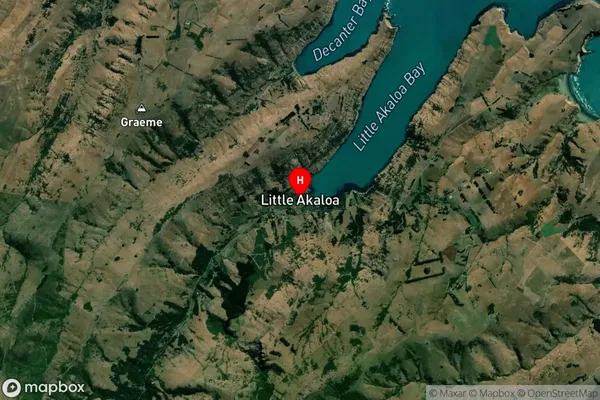
Little Akaloa Satellite Map
Full Address
Little Akaloa, Banks Peninsula, CanterburyLittle Akaloa Coordinates
-43.675433,172.99066 (Latitude / Longitude)Little Akaloa Map in NZ
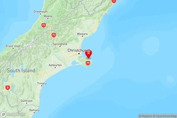
NZ Island
South IslandCountry
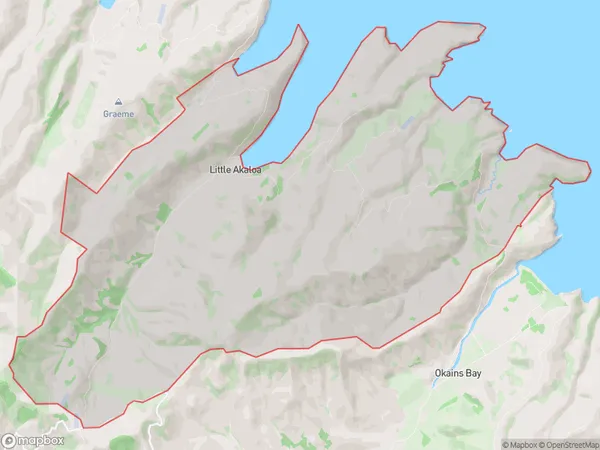
Little Akaloa Area Map (Polygon)
Name
Little AkaloaAdditional Name
ChorltonLocal Authority
Christchurch City
Little Akaloa Suburbs (Sort by Population)
Little Akaloa
Little Akaloa - 75