Little Akaloa Area, Little Akaloa Postcode(7853) & Map in Little Akaloa
Little Akaloa Area, Little Akaloa Postcode(7853) & Map in Little Akaloa, Christchurch City, New Zealand
Little Akaloa, Christchurch City, New Zealand
Little Akaloa Postcodes
Little Akaloa Area (estimated)
49.9 square kilometersLittle Akaloa Population (estimated)
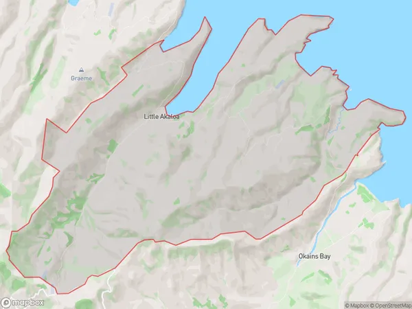
75 people live in Little Akaloa, Banks Peninsula Community, NZLittle Akaloa Suburb Area Map (Polygon)
Little Akaloa Introduction
Little Akaloa is a small rural town in Canterbury, New Zealand. It is located on the banks of the Hurunui River and is known for its scenic beauty and peaceful atmosphere. The town has a population of around 200 people and is surrounded by farmland and native bush. It is a popular destination for tourists who enjoy hiking, fishing, and kayaking. The town also has a historic church and a small museum that showcases the area's rich history.Region
Major City
Suburb Name
Little AkaloaOther Name(s)
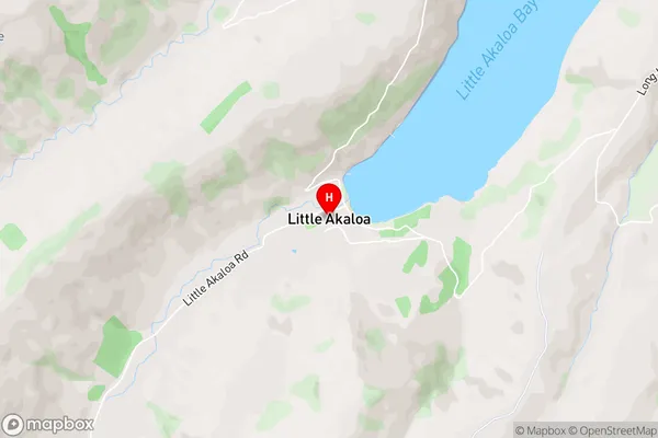
ChorltonLittle Akaloa Area Map (Street)
Local Authority
Christchurch CityFull Address
Little Akaloa, Christchurch City, New ZealandAddress Type
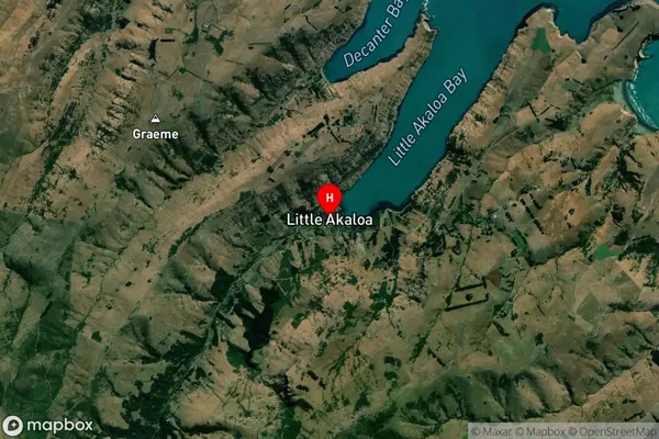
Locality in Major Locality Little AkaloaLittle Akaloa Suburb Map (Satellite)
Country
Main Region in AU
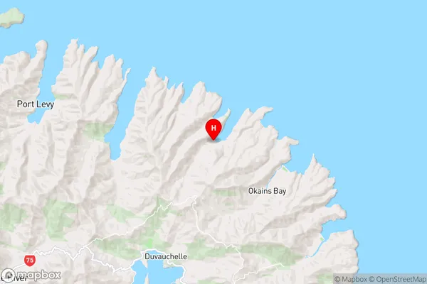
CanterburyLittle Akaloa Region Map
Coordinates
-43.6754333,172.9906599 (latitude/longitude)Distances
The distance from Little Akaloa, Little Akaloa, Christchurch City to NZ Top 10 Cities