Le Bons Bay Suburbs & Region, Le Bons Bay Map & Postcodes in Le Bons Bay, Banks Peninsula, Canterbury
Le Bons Bay Postcodes, Le Bons Bay ZipCodes, Le Bons Bay , Le Bons Bay Canterbury, Le Bons Bay Suburbs, Le Bons Bay Region, Le Bons Bay Map, Le Bons Bay Area
Le Bons Bay Region
Le Bons Bay Suburbs
Le Bons Bay is a suburb place type in Banks Peninsula, Canterbury, NZ. It contains 1 suburbs or localities.Le Bons Bay Postcodes
Le Bons Bay district
Banks PeninsulaLe Bons Bay Region Map
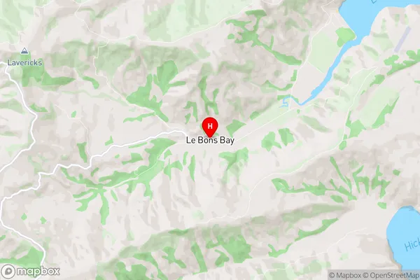
Le Bons Bay Introduction
Le Bons Bay is a small beach located in the Canterbury region of New Zealand. It is known for its peaceful atmosphere, stunning natural beauty, and crystal-clear waters. The beach is a popular spot for swimming, sunbathing, and fishing, and it is surrounded by lush green hills and picturesque farmland. The area is also home to a variety of wildlife, including seals, penguins, and dolphins. Le Bons Bay is a great place to relax and escape the hustle and bustle of everyday life, and it is a must-visit destination for anyone who loves the outdoors and natural beauty.Le Bons Bay Region
Le Bons Bay City
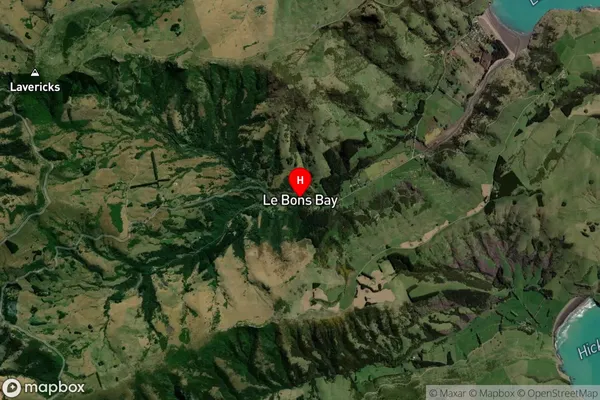
Le Bons Bay Satellite Map
Full Address
Le Bons Bay, Banks Peninsula, CanterburyLe Bons Bay Coordinates
-43.762116,173.06237 (Latitude / Longitude)Le Bons Bay Map in NZ
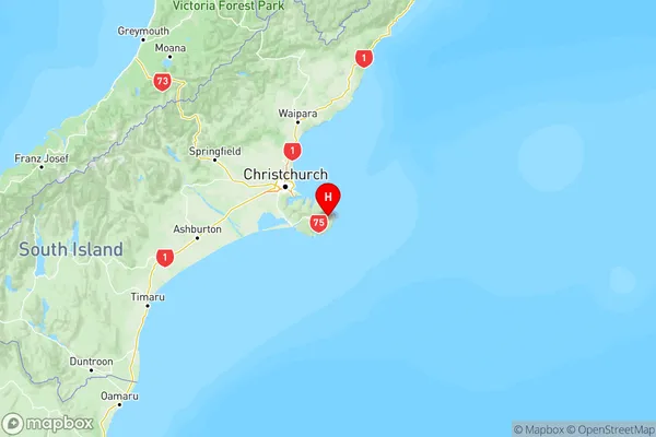
NZ Island
South IslandCountry
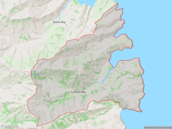
Le Bons Bay Area Map (Polygon)
Name
Le Bons BayAdditional Name
Local Authority
Christchurch City
Le Bons Bay Suburbs (Sort by Population)
Le Bons Bay
Le Bons Bay - 112