Le Bons Bay Area, Le Bons Bay Postcode(7583) & Map in Le Bons Bay
Le Bons Bay Area, Le Bons Bay Postcode(7583) & Map in Le Bons Bay, Christchurch City, New Zealand
Le Bons Bay, Christchurch City, New Zealand
Le Bons Bay Postcodes
Le Bons Bay Area (estimated)
63.0 square kilometersLe Bons Bay Population (estimated)
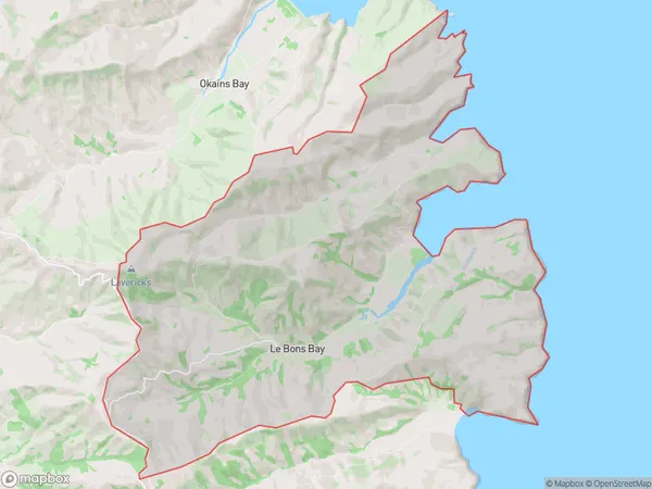
112 people live in Le Bons Bay, Banks Peninsula Community, NZLe Bons Bay Suburb Area Map (Polygon)
Le Bons Bay Introduction
Le Bons Bay is a small beach located in the Canterbury region of New Zealand. It is known for its peaceful atmosphere, stunning natural beauty, and clear waters. The beach is popular with locals and tourists alike and offers a range of activities such as swimming, sunbathing, and fishing. It is also a great spot for birdwatching, with several species of birds nesting in the area.Region
Major City
Suburb Name
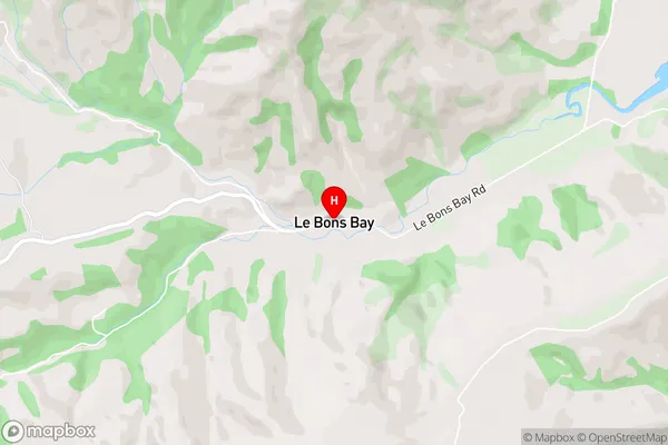
Le Bons BayLe Bons Bay Area Map (Street)
Local Authority
Christchurch CityFull Address
Le Bons Bay, Christchurch City, New ZealandAddress Type
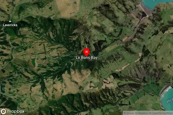
Locality in Major Locality Le Bons BayLe Bons Bay Suburb Map (Satellite)
Country
Main Region in AU
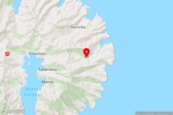
CanterburyLe Bons Bay Region Map
Coordinates
-43.7621156,173.0623703 (latitude/longitude)Distances
The distance from Le Bons Bay, Le Bons Bay, Christchurch City to NZ Top 10 Cities